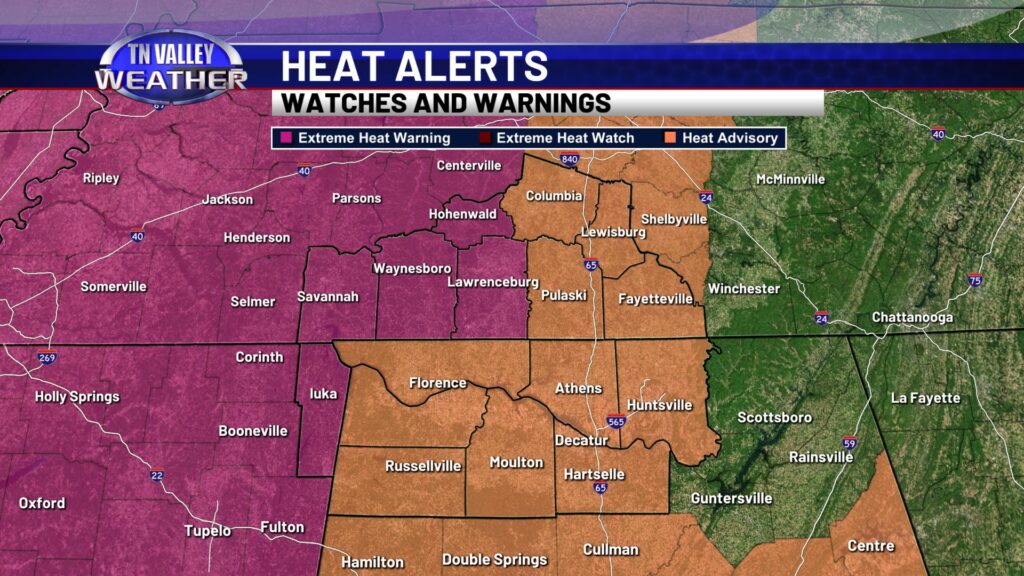
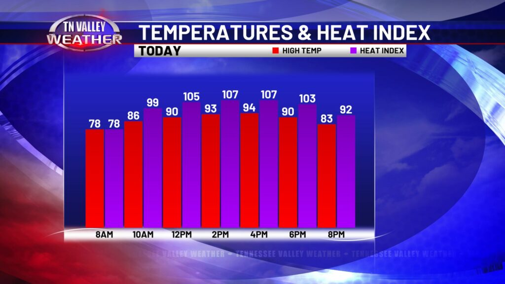
It was quite the stormy night across the Tennessee Valley but that is not stopping intense heat from building up this afternoon. An Excessive Heat Warning is in effect for the western half of our TN counties, and Tishomingo County MS. A Heat Advisory is in effect for all other counties, through 8pm. Heat index values may reach 105-110 degrees, making it dangerous for vulnerable populations (elderly, children, pregnant etc) to be outdoors. No matter who you are or how tough you think you may be, it’s a good idea to be extra hydrated and stay indoors today if at all possible. If you must be outdoors, drink extra fluids, take breaks, and be aware of early signs of heat-related illnesses.
With the weather pattern we are in and given the recent history of weather models, I don’t really have anything reliable to share with you for today and tonight. That being said, I can’t rule out a few thunderstorms today and tonight, despite models being dry. However, I don’t think tonight will be a repeat of last night by any means. Be sure you watch our forecast updates throughout the day to see how our thoughts may (or may not) change.
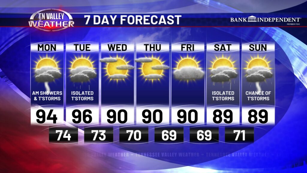
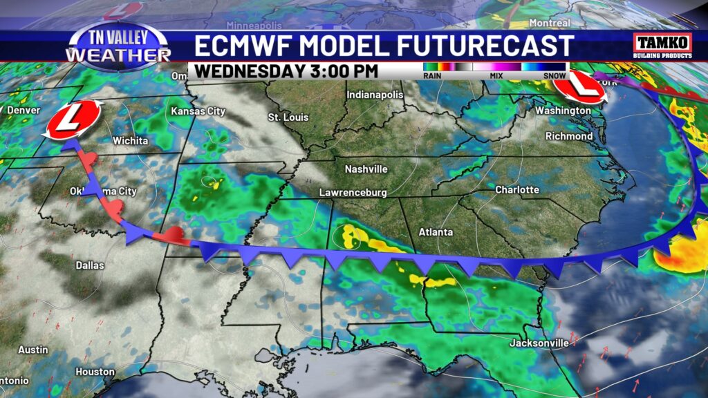
Tuesday will be another afternoon featuring intense heat, with highs in the mid 90s and heat index values up to 110 degrees. Tuesday features another chance of thunderstorms, again difficult to pinpoint the when and the where. However, by Wednesday, the boundary moves south and high pressure tries to swing in close by, drying us out for at least a few days. Temps will be “cooler” as well. I’m talking going from mid 90s to lower 90s. But hey, we’ll take it.
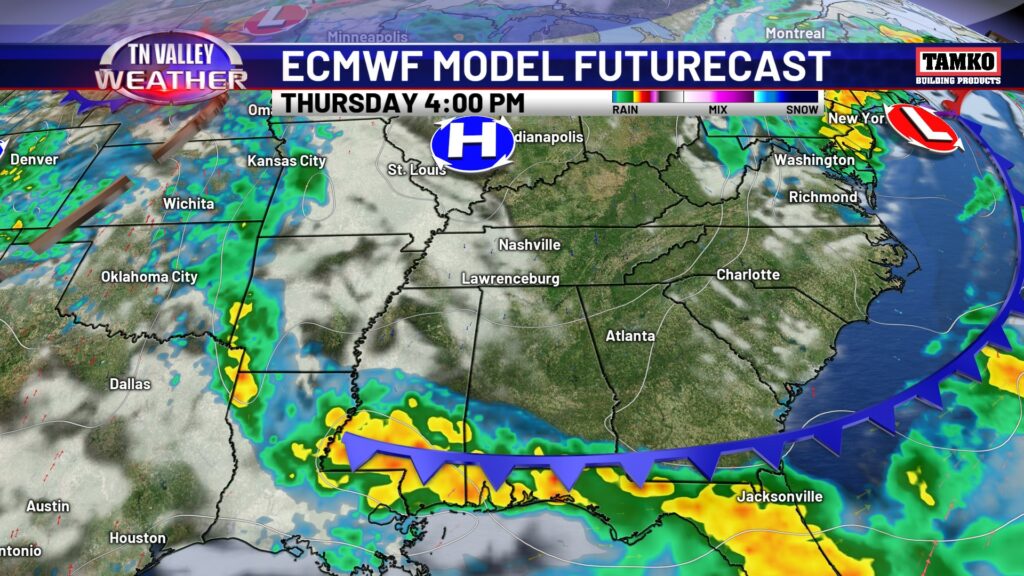
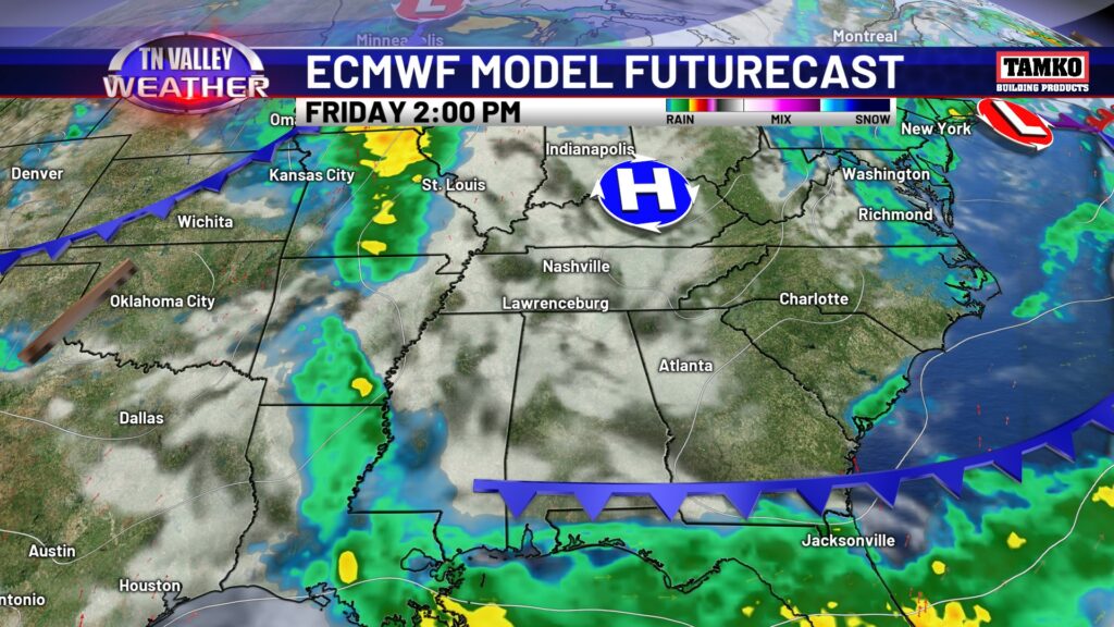
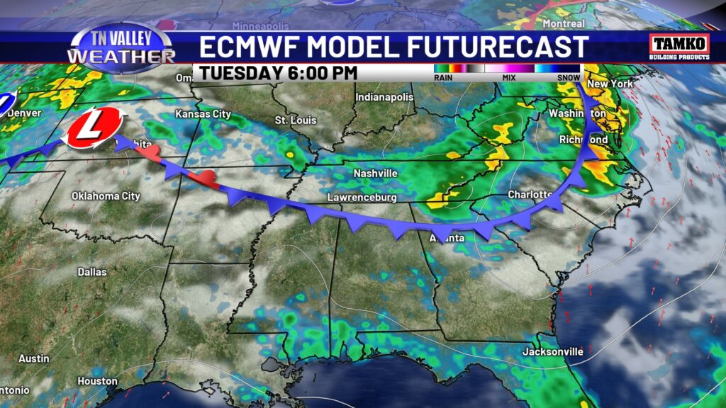
Overall, this week starts off with intense heat, we slightly “cool” off and dry out mid to late week, before the first weekend of August looks like a typical first weekend of August for the Tennessee Valley.