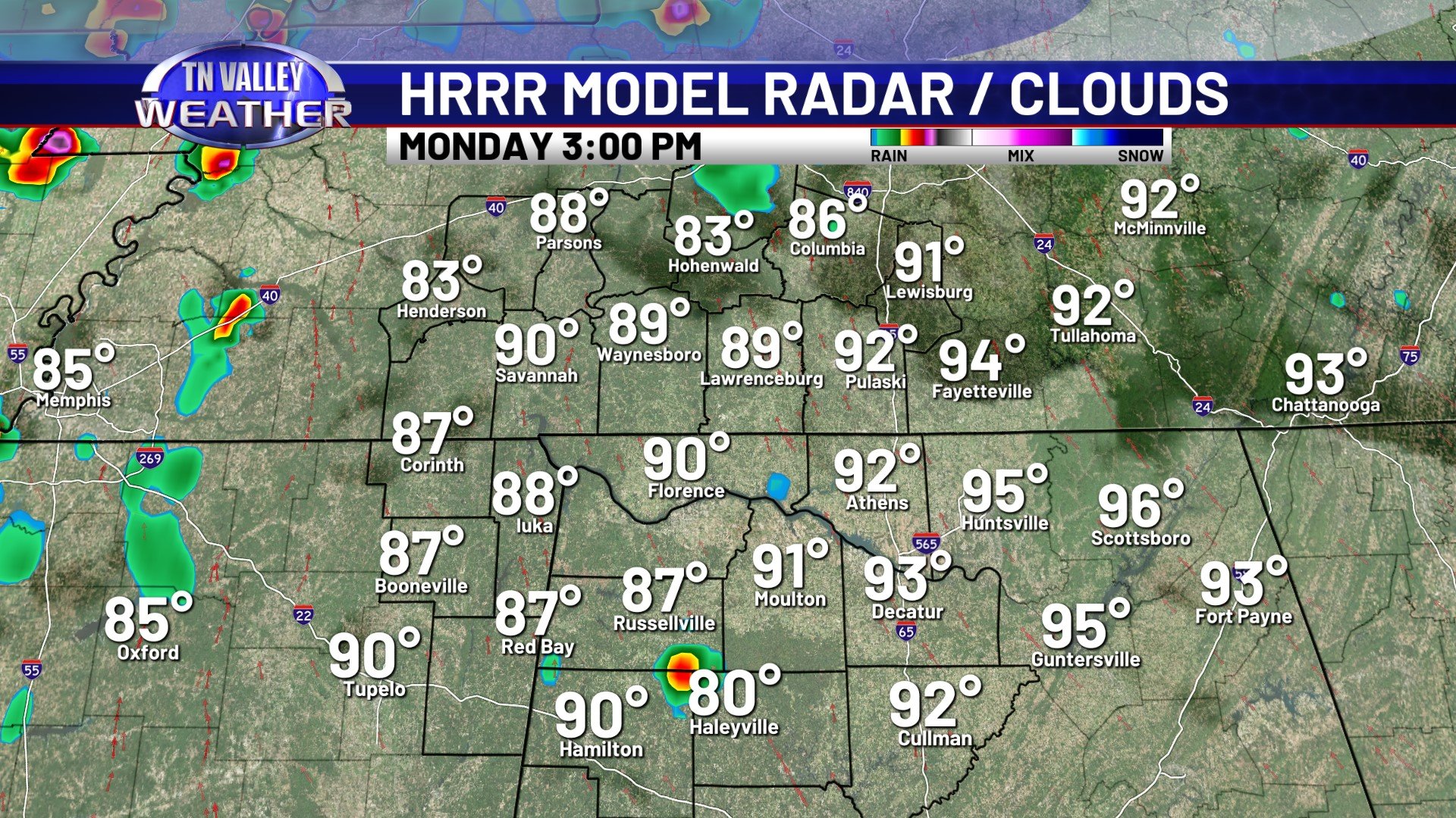
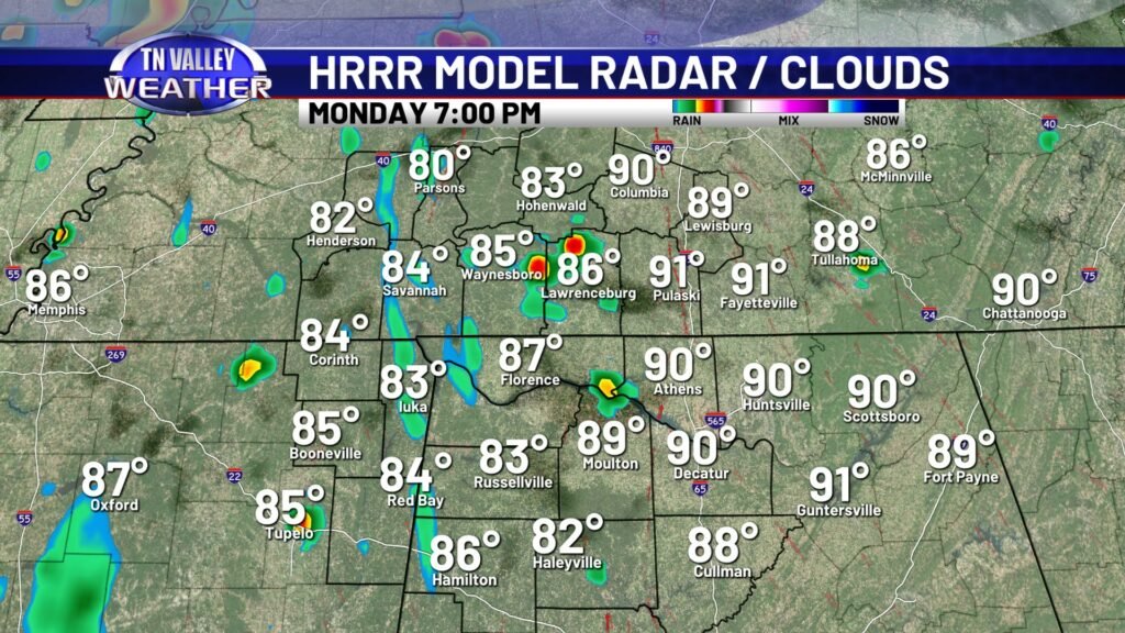
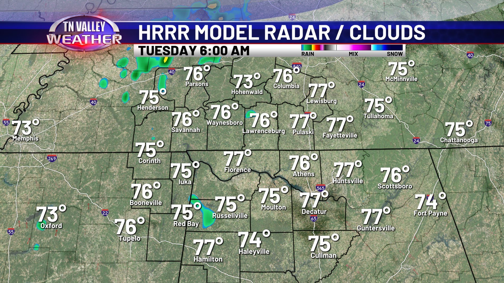
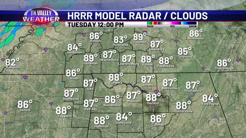
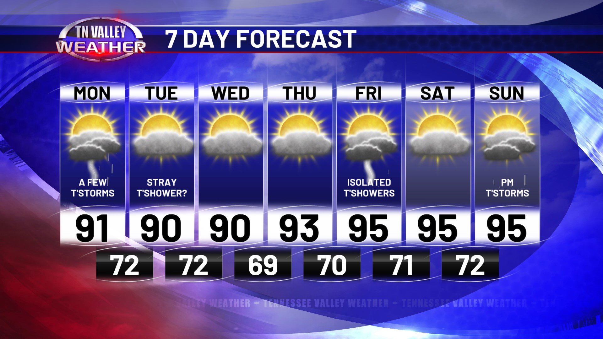
I hope you were able to stay cool with weekend after the sweltering heat we had. Unfortunately highs in the 90s remain in our future. This afternoon you can expect highs in the lower 90s with a few showers & storms swirling in from south to north. Not everybody will see rain today, these will be hit-or-miss variety. Overnight we dry out with some remnant showers moving through and temperatures will get down to the lower 70s. Aside from a stray shower, Tuesday is looking dry and partly cloudy.
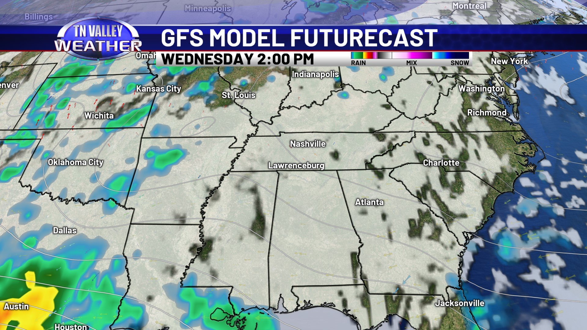
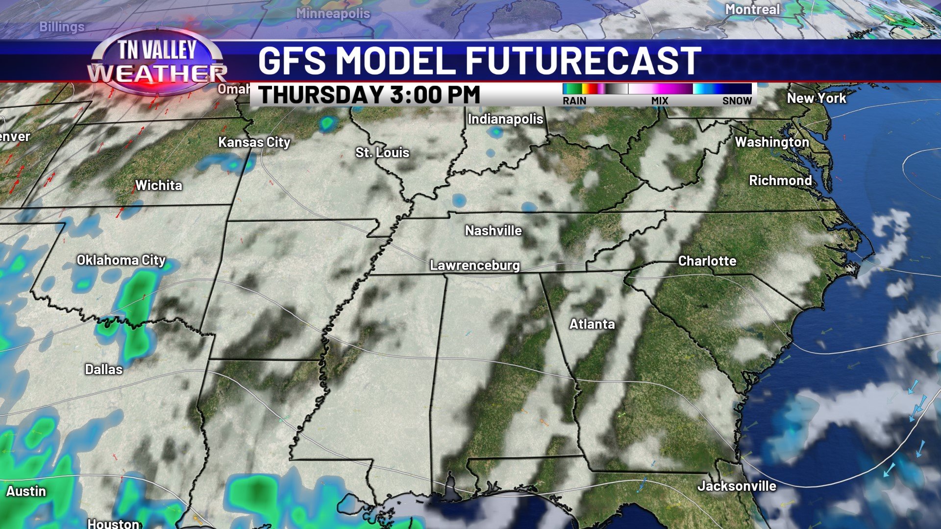
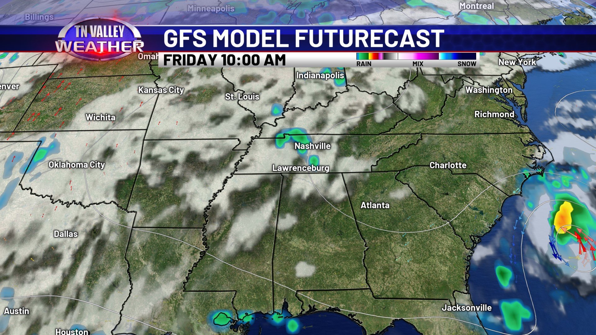
The middle of the week looks calm, but hot. Expect dry conditions through Thursday with temperatures in the upper 80s to lower 90s. Friday holds a small pop-up storm chance, and highs will warm up into the mid 90s for a lot of us in the Tennessee Valley. Humidity will also start to creep back up to uncomfortable levels by the end of the week after a relatively comfortable mid-week.
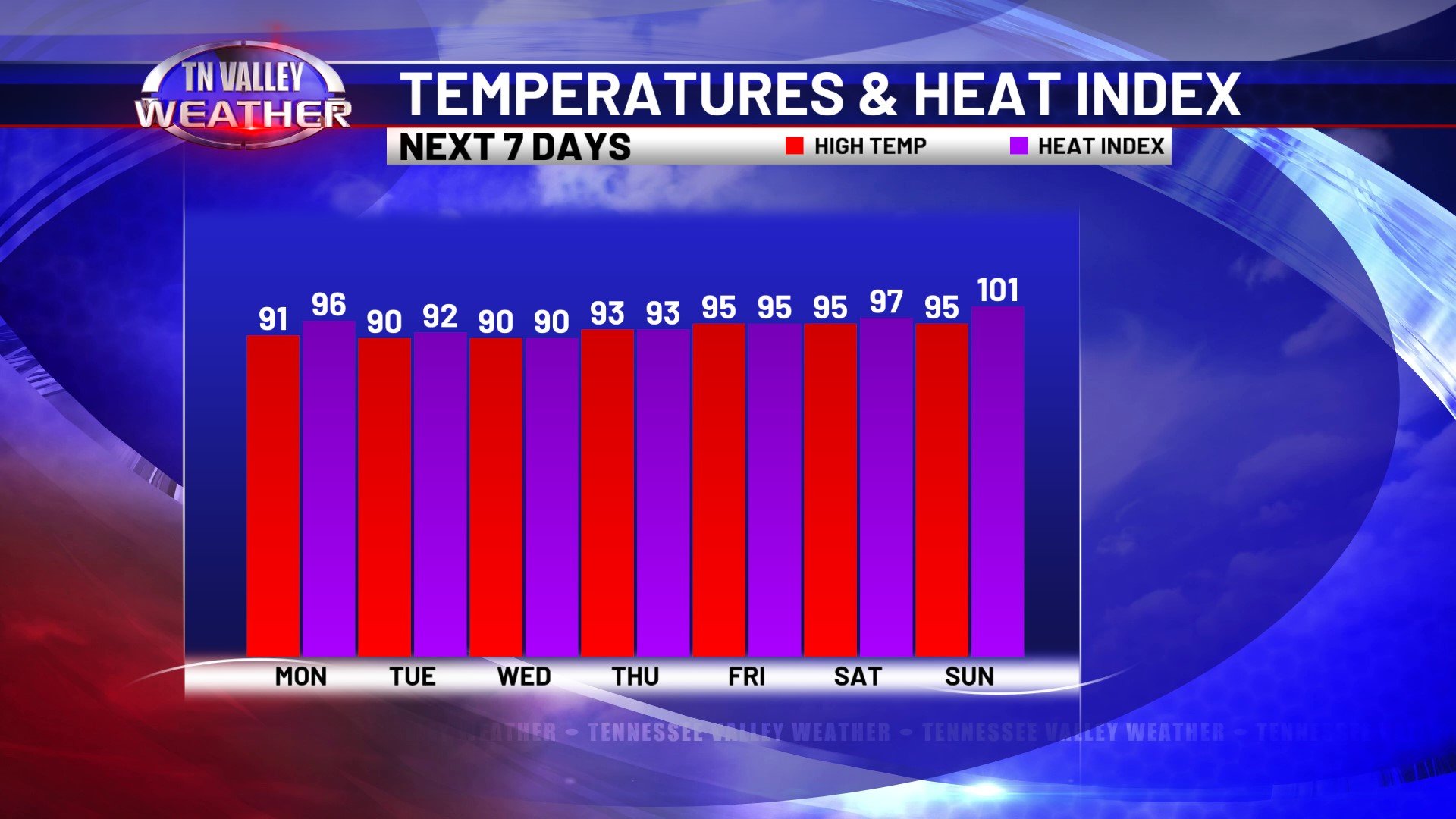
The temperature and heat index values will be pretty similar for the middle of the week until the higher dew points return after they retreat today. This weekend you can expect highs in the mid 90s once again with heat index values near the triple digits. This weekend will feel pretty much like this past weekend if you need a comparison.
There are a few sporadic shower & storm chances, but no significant chance within the next 7 days. We’ll see a few storms here and there, however.
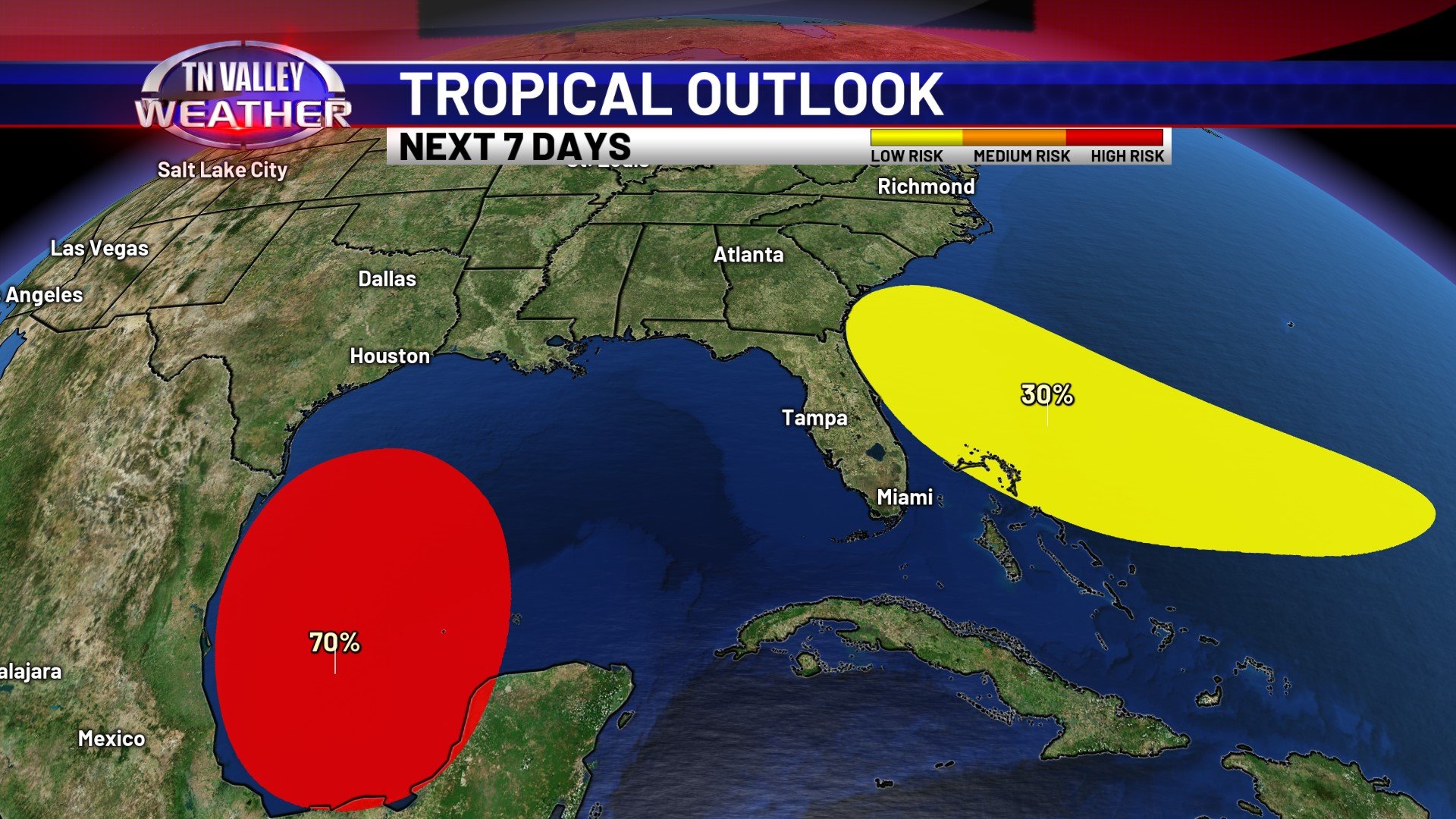
I wanted to take a brief moment to talk about the tropics. At the time I’m writing this Monday morning, we still do not have a named storm this season, but that may change. The disturbance in the Bay of Campeche has a 70% chance of formation within the next 48 hours. Forecasters are expecting a named storm by mid-week. It would be named Alberto. The other disturbance out in the Atlantic Ocean has a 30% chance of formation within the next 7 days. While that disturbance may impact the east coast by the end of the week, uncertainly remains with development for now. We’ll keep you updated!