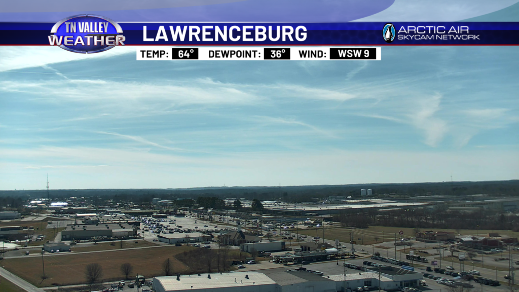
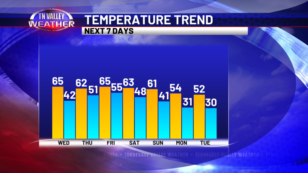
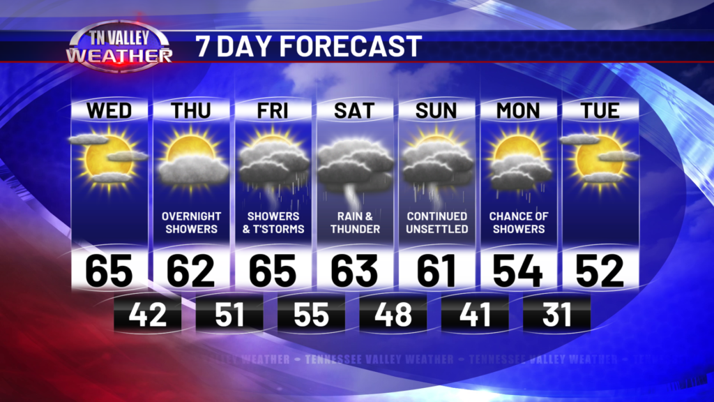
I can’t say I’ve been upset over the 60s we’ve been experiencing this first full week of February. It’s a nice little taste of spring! Nice weather continues for the rest of today, but all good things must come to an end. More on that below, but for the rest of today, we’ll take the afternoon 60s down to the 50s and 40s this evening and overnight. Some cloud cover will remain, but we stay dry until late Thursday night. We’ll be in the 60s tomorrow afternoon, too. In fact (spoiler alert) we’ll be in the 60s until Monday!
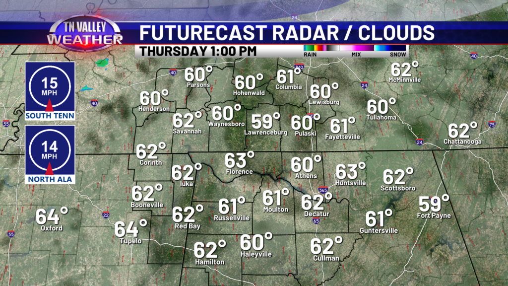
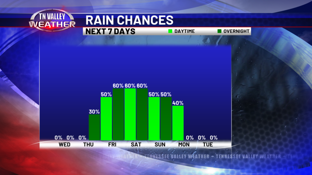
Cloud cover will begin to thick up into an overcast sky Thursday as winds usher in from the south at about 15 miles per hour, as we flip the switch to an unsettled weather pattern for the next several days. Rain moves in overnight and into Friday morning, and rain chances do not subside until Monday night. We’ll get some breaks between rounds of showers and storms, but expect gloomy weather Friday through Monday.
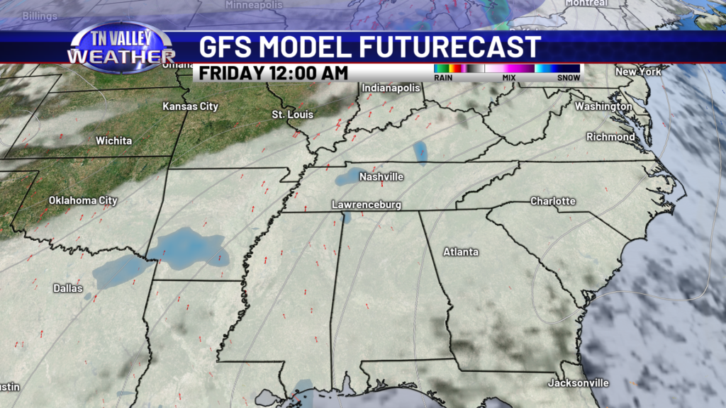
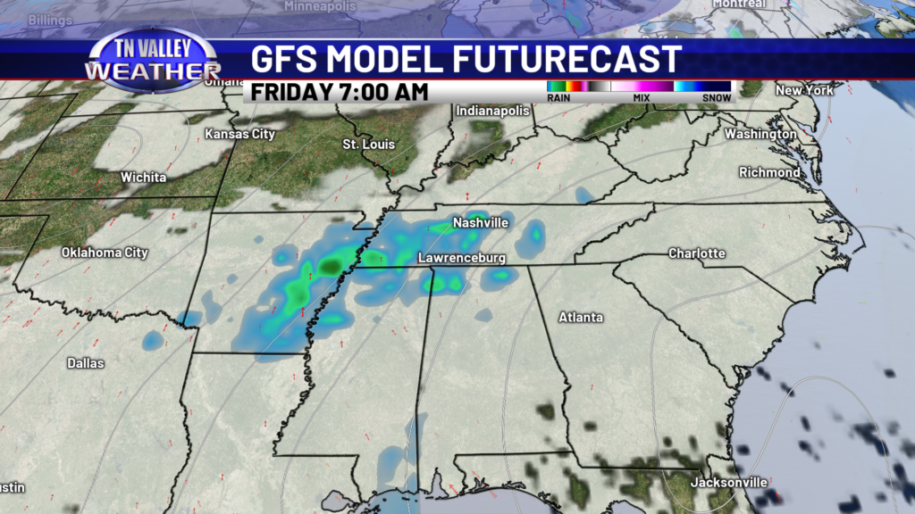
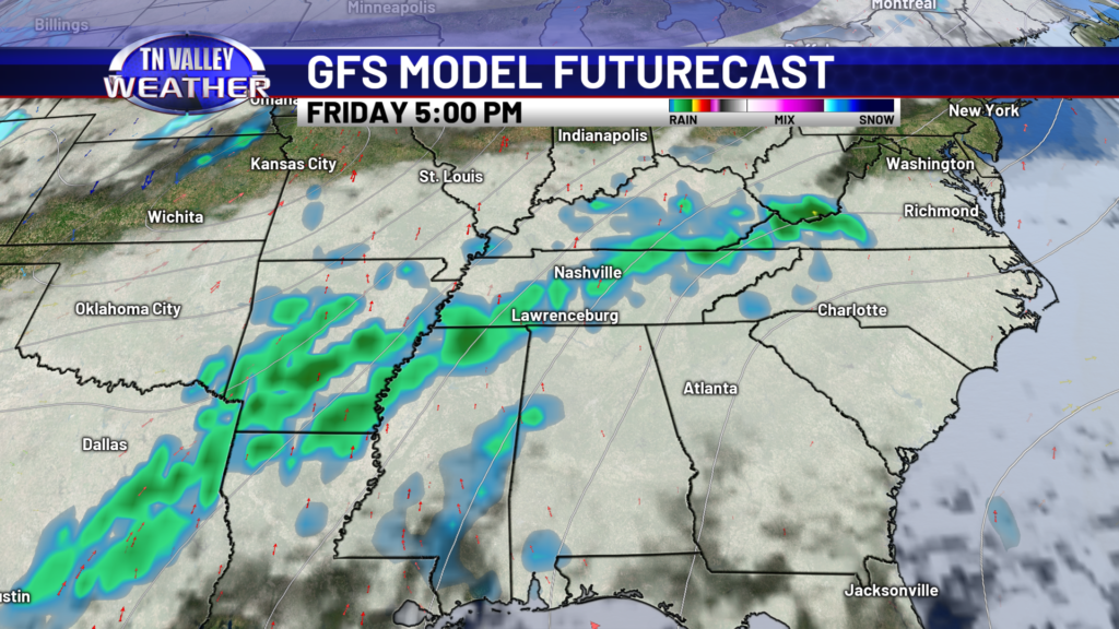
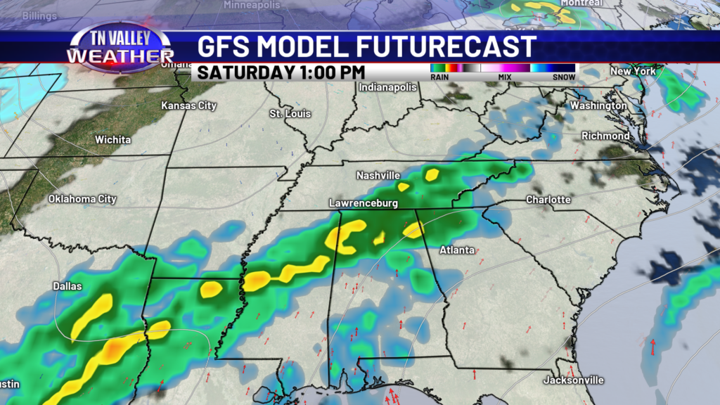
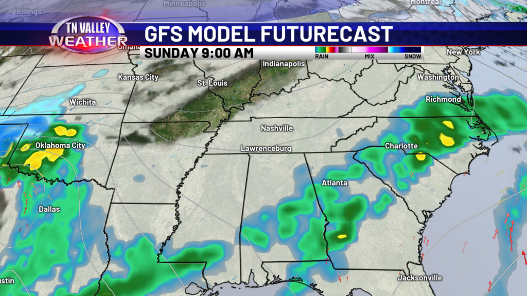
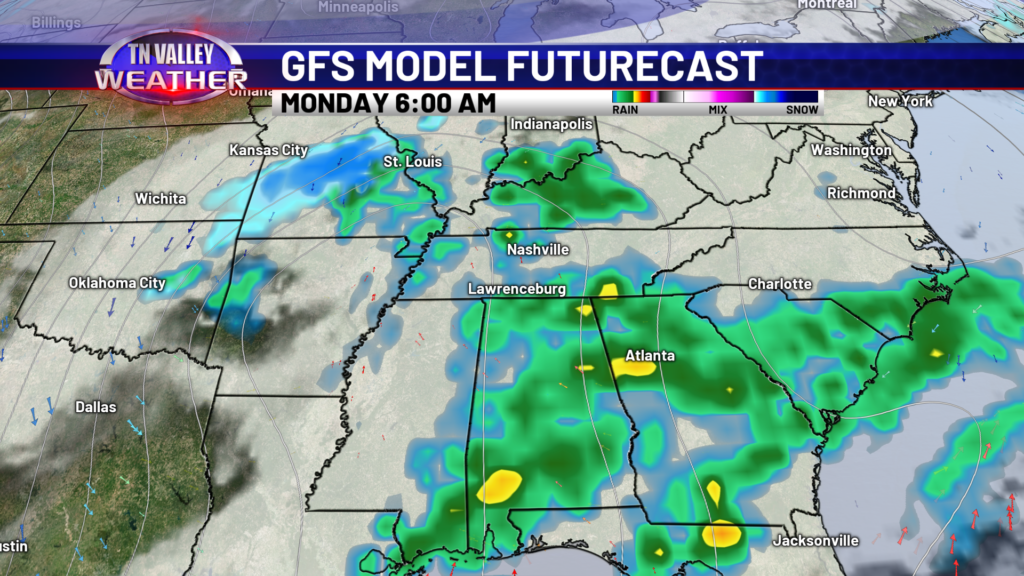
We are not expecting severe weather, just a few embedded thunderstorms mixed into waves of rainfall. We are also not seeing a flooding threat at this time, models are showing anywhere from 1.5-3.5 inches of rain over the span of 4 days. That does not raise any eyebrows here in the weather center. Plus, after Monday is over with, we’re looking dry for much of next week at this time. We will also cool down slightly next week, going from highs in the 60s to highs in the 50s. Nothing too dramatic.

Thanks for the update on weather. So glad we have someone we can depend on.