If you pay any attention at all to weather information online or from broadcast outlets, you have at some point seen flashy red graphics used to draw your attention to the potential for impactful weather. Various outlets call this different things, based on their station’s branding. You may hear terms like “First Alert Weather Day”, “Severe Weather Alert”, “Code Red Weather Day”, etc., etc. The basic concept of such a thing is actually a good one… use a color that grabs attention and people inherently associate with “alert” or “danger” and use it to highlight potentially impactful or dangerous weather threats that are more serious and more atypical than most average weather events in that particular area. Over time, because of consultants and marketing managers at TV stations getting involved in the decision making process of these things, this has become more and more of a marketing strategy to grab viewer attention than it is used to highlight potentially dangerous weather. In the vast majority of cases, this is not the fault of the TV meteorologists you see standing in front of and talking about such flashy red graphics. At many TV shops these days, the decision for the station to go into “alert mode” isn’t even made by the weather team… it’s made by station management. That’s not true in all cases, but it’s becoming true in more and more TV stations across the country.
If you have followed us for any length of time here at Tennessee Valley Weather, you know that we don’t do the whole Chicken Little “sky is falling” alarmism mess. No, we don’t get every single forecast 100% correct. There’s not a single meteorologist or forecaster ever in exist that has been 100% correct 100% of the time. It is simply the nature of trying to predict the future when none of us has been to said future yet. Point blank, period. That means that there have occasionally been weather systems that we thought were going to be more serious than they actually turned out to be, and even once or twice where a weather system turned out to be MORE serious than the available data and science led us to believe. It doesn’t happen too often, but it certainly does happen! Having said that, we are staunch believers in the FACT that we don’t need to scare you in order to get you to watch… and that if we try to go down that road, it will do more harm than good! It’s the classic crying wolf syndrome. If the alarm is sounded too many times and nothing happens or it’s not as bad as expected over and over, you will eventually stop listening. Then, when something truly dangerous does come along, you very naturally won’t be listening because you would be tired of hearing the alarm being sounded for something that doesn’t deserve it. We don’t play that game here. We’re NOT perfect, and we may occasionally get a forecast wrong, but there will never be a time where we are intentionally hyping something up to lead you to watch us or to inflate our numbers. We would much rather you watch us because we have established a relationship with you as the viewer built on trust because you know that, while we are not perfect, we work to be as accurate and dependable as the current state of the science allows us to be!


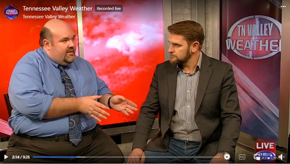
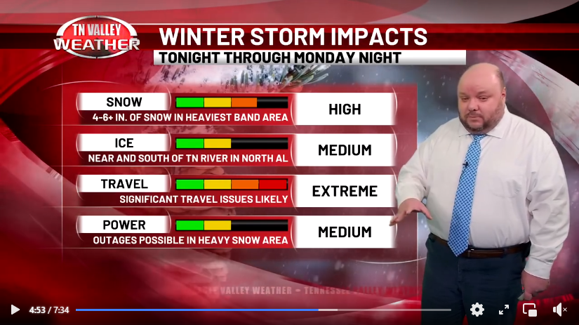
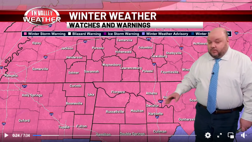
With all that being said, yes, we have our own version of the whole “red alert” thing here at Tennessee Valley Weather. We don’t try to market it or make it gimmicky, but you may sometimes see or hear us say that we are in “Storm Alert”. One recent example of this was during the major winter storm we had back this January. When we are in “Storm Alert”, we are expecting a significant weather threat that has an elevated potential to be a danger to life and property and/or cause major disruptions to everyday life. At these times, as the example images show above, you will see red colored graphics in our weathercasts, in our live coverage, on our channel’s L-Bar layout, and even on the monitors and studio set graphics we have. These are all used as visual cues to let you know that what we’re talking about isn’t something you see every day, and it’s something you need to pay particular attention to. We have a very specific set of things we look for in order to put our operations into “Storm Alert” red mode like this. Here is our somewhat strict criteria as follows:
- The NWS Storm Prediction Center has placed our area in a Level 4 of 5 or Level 5 of 5 risk of severe storms, specifically for the potential for EF2-EF5 intensity long-track type tornadoes, widespread damaging winds of 75+ mph, or widespread hail of 2+ inches in diameter. These Level 4 and Level 5 risk level outlooks happen pretty infrequently. We may only have a couple of these each year in our local area.
- The NWS Weather Prediction Center office has placed us in a “High Risk” of excessive rainfall and flooding or a “Moderate Risk” is issued in the “today” or “tomorrow” timeframes with 8+ inches of rain expected within 36 hours or less. This signifies a higher-end type of flash flooding threat that is infrequently seen and is a direct threat to life and property.
- A Winter Storm Watch or Warning is issued for either 4+ inch snow accumulations expected, ice storm conditions (1/4 inch ice accumulation or greater), flash freeze wintry travel conditions, or blizzard conditions.
- A Winter Weather Advisory is issued (below watch/warning accumulation criteria) but includes the likelihood of flash freeze wintry travel conditions.
- A high wind event (not associated with thunderstorm wind gusts) is likely to produce 60+ mph gusts or 50+ mph sustained winds.
- A landfalling tropical system or its remnants is expected to produce widespread 50+ mph gusts for 3 hours or longer within the next 48 hours. The wind speed here is lowered a little to account for heavy rain making tree root systems weaker so that it’s easier for trees to be knocked down.
In the case of each of these type of threats, such would be a weather situation that happens infrequently in the local area and would be significant enough to be an elevated direct threat to life and property. Following the criteria above, you shouldn’t see us in “Storm Alert” mode more than a few times out of any full given year.

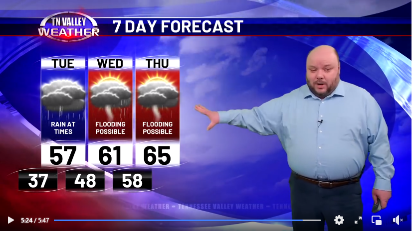
For severe storm threats, winter threats, tropical storm threats, flooding threats, and high wind threats that are either several days out in time or aren’t as much of a “high-end” type threat, we do also have the capability of placing a red panel on the 7-Day Forecast graphic in our weathercasts and on the 5-Day Forecast at the bottom of the screen on our 24/7 channel to highlight those days where impactful weather is expected, but it doesn’t meet our stricter criteria for the full “Storm Alert” mode. You won’t see this too often either, but it’s typically used when there’s an organized severe storm threat that includes tornadoes within the next 7 days (or a wind/hail threat within the next 3 days), when a flooding threat is significant enough to warrant a Flood Watch, when a high wind event may produce widespread 40+ mph winds, when a landfalling tropical system may bring tropical storm force conditions to the area, or when a winter weather system may produce snow, sleet, or ice accumulations that would impact travel or utilities.
The basic idea is that we only use these red graphics to highlight either impactful or dangerous weather threats that are upcoming in our area. Seeing these graphics is NOT a 100% guarantee that a high-end weather event WILL happen, because we’re not perfect and the science isn’t either, but we have a long-standing good track record with there actually being impactful weather in the area when our red graphics are used. We can’t speak for everyone else, but here at Tennessee Valley Weather, it’s not a marketing gimmick. It’s another tool we use to keep you informed and better prepared, WITHOUT UNNECESSARY HYPE OR ALARMISM, when dangerous weather threatens!
