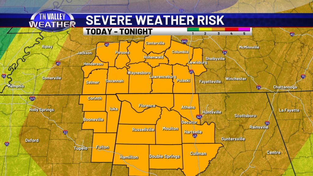
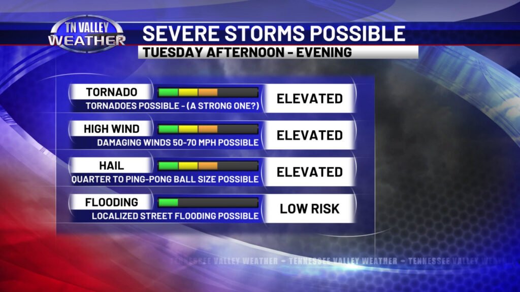
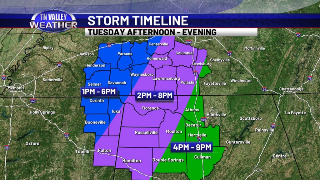
The latest information early this Tuesday morning from the NWS Storm Prediction Center maintains the Level 3 of 5 “Enhanced Risk” of severe storms for this afternoon and evening for all of our area. The timeline we have shown since yesterday morning has not changed. The main severe weather risk for our viewing area remains during the afternoon and evening hours. We will detail that in a moment. This continues to be an elevated type of threat with all forms or “types” of severe weather hazards possible. Storms will have the capability of producing damaging straight-line wind gusts of 50-70 mph, hail to the size of quarters to as large as ping-pong balls in a few cases, and tornadoes will be a threat. Depending on the evolution of the storms later today, one or two of those potential tornadoes could be strong (EF2 or greater intensity).
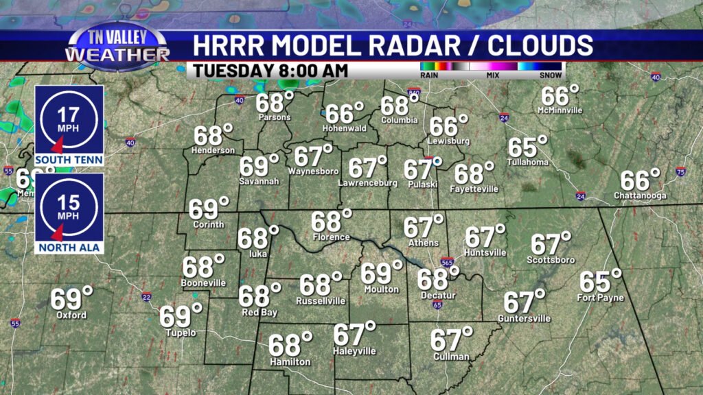
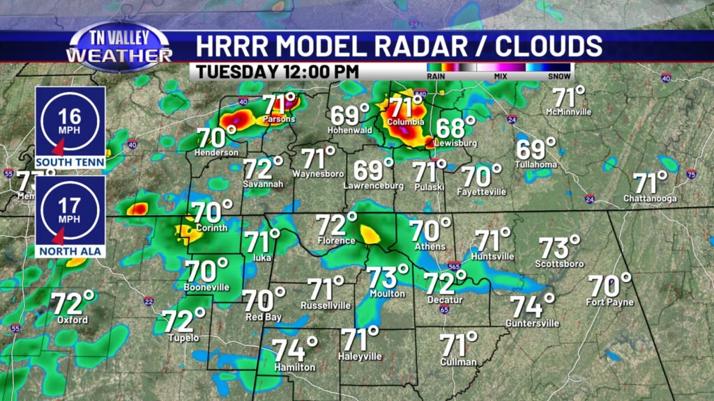
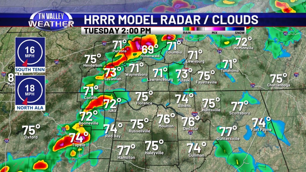
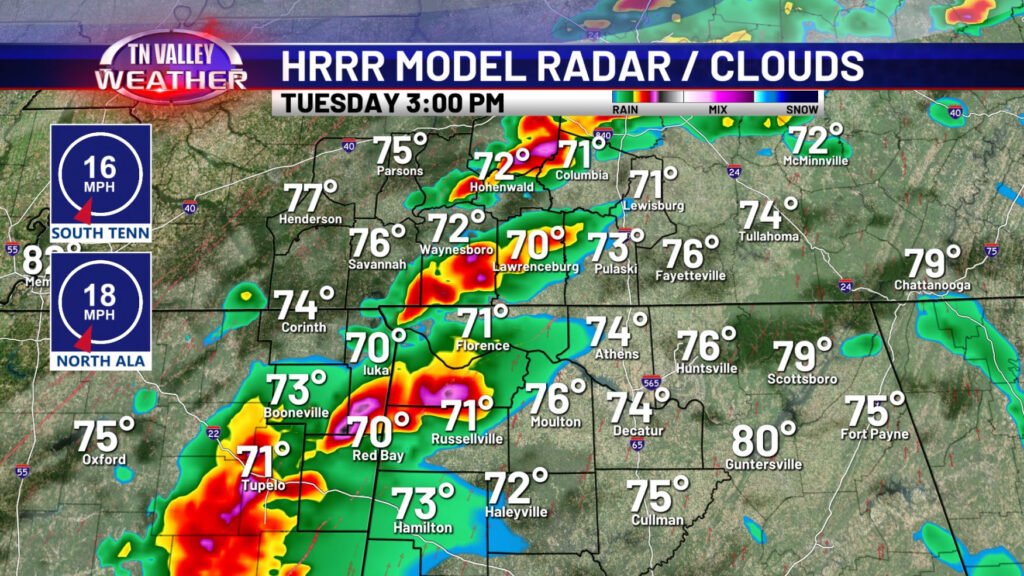
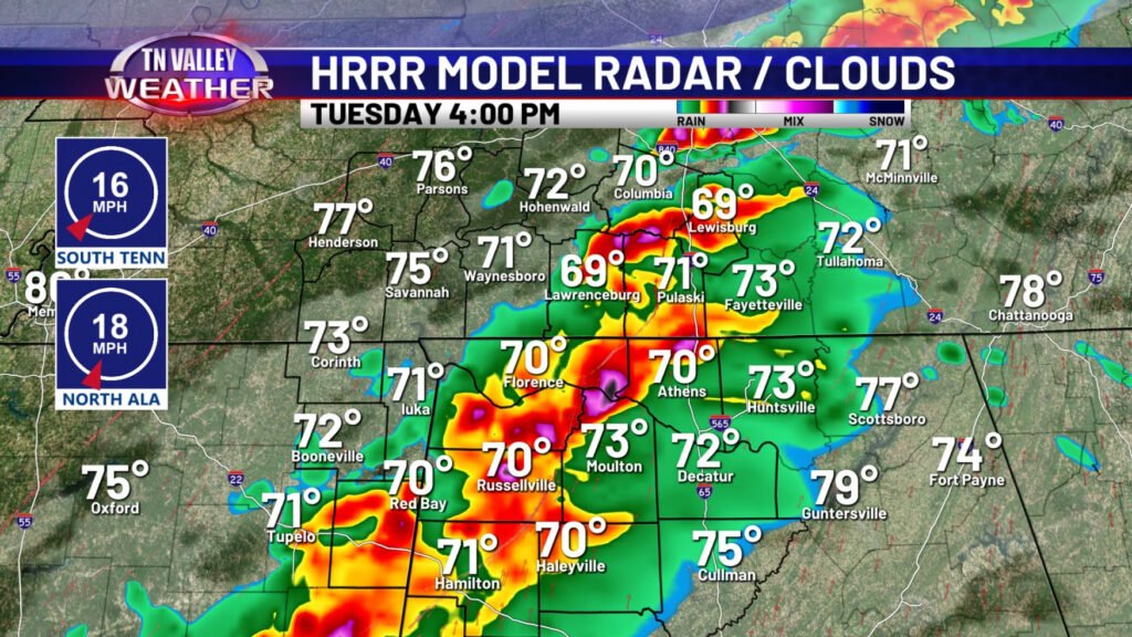
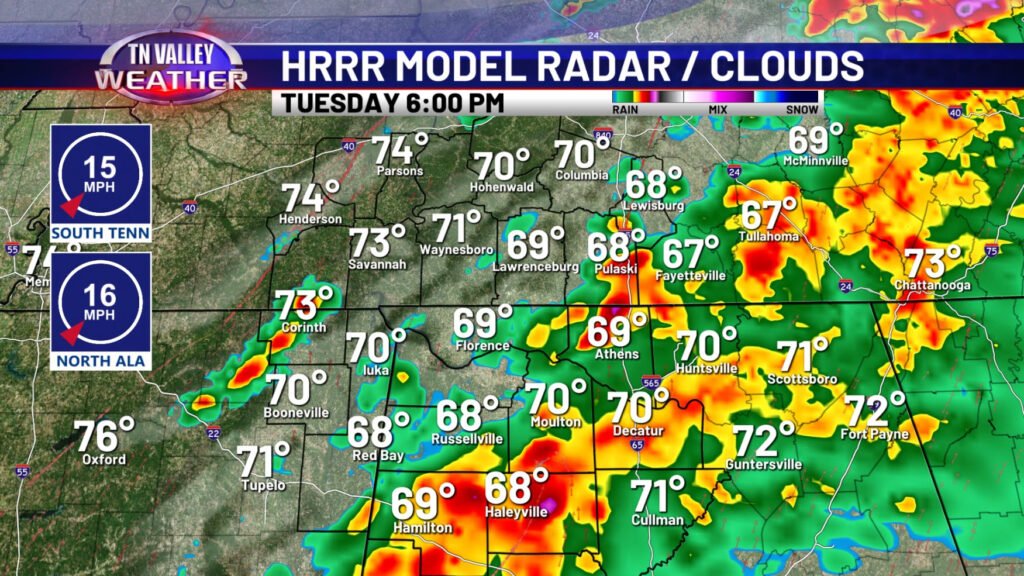
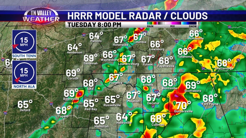
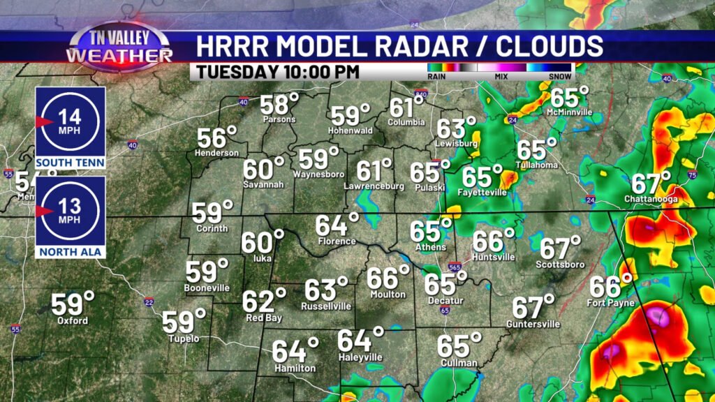
We look to be mostly cloudy, windy, and warm through the morning hours. Showers and a few isolated thunderstorms may develop as early as the late morning to midday. While we can’t rule out gusty winds or small hail with one or two of these, the overall severe threat with this round will be low. It’s the early to mid afternoon when the dynamic storm system from the west approaches and the low-level jet begins intensifying over our area that scattered severe storms look to develop just to our west over western middle Tennessee into north Mississippi and then move across our area during the afternoon to early/mid evening hours. These are the storms that will have the chance of producing all those threat types mentioned above. The exact character of this band of thunderstorms will be critical to the tornado threat. If the storms remain rather messy and disorganized and spaced too close together, damaging winds, hail, and a tornado or two would still be possible, but the tornado risk wouldn’t be that high. However, if storms remain a bit spaced for a couple of hours (like the HRRR model shows above) and one or two supercells are able to become dominant within the band, there would be an increased chance of a strong tornado or two (EF2 or greater intensity) and possibly even long-tracked. That is a very uncertain threat, and it depends completely on the character of the storms as mentioned, but it IS a risk that is on the table. By mid evening, the stronger storms will be shifting east and southeast of our area, and the severe storm threat will be coming to an end.
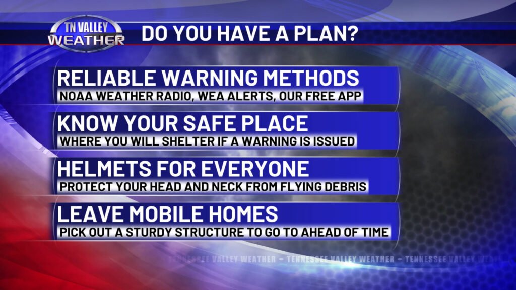
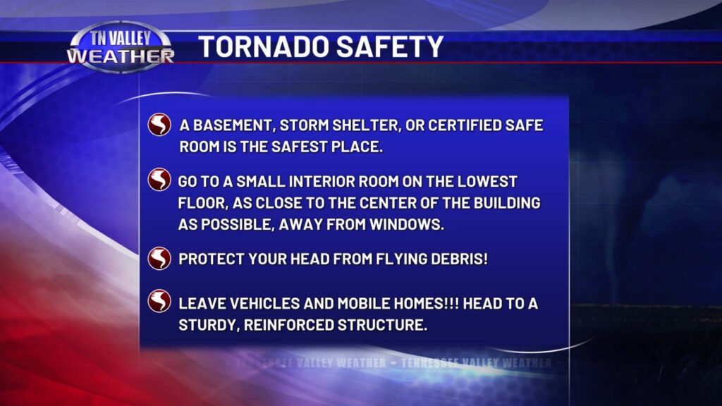
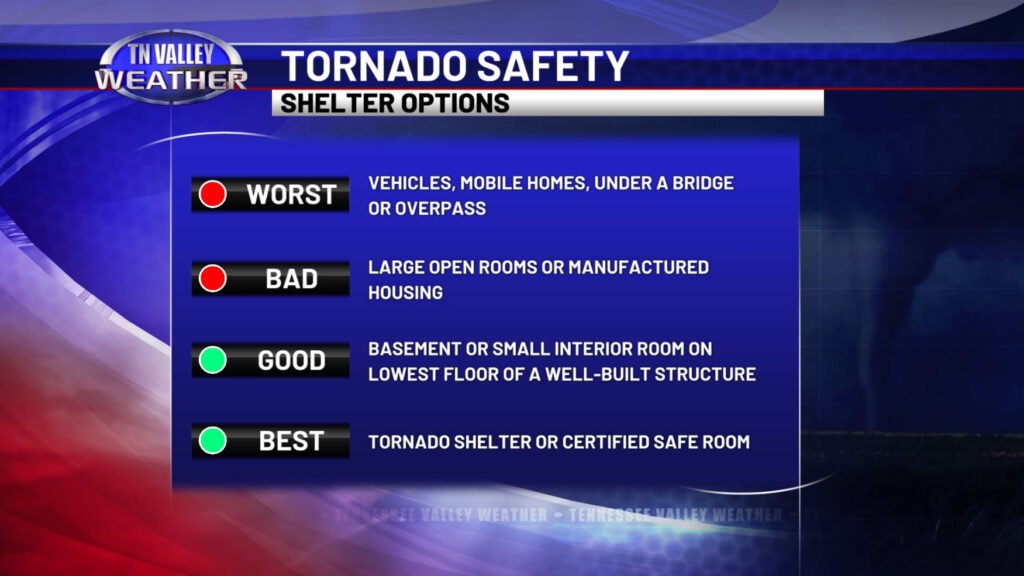
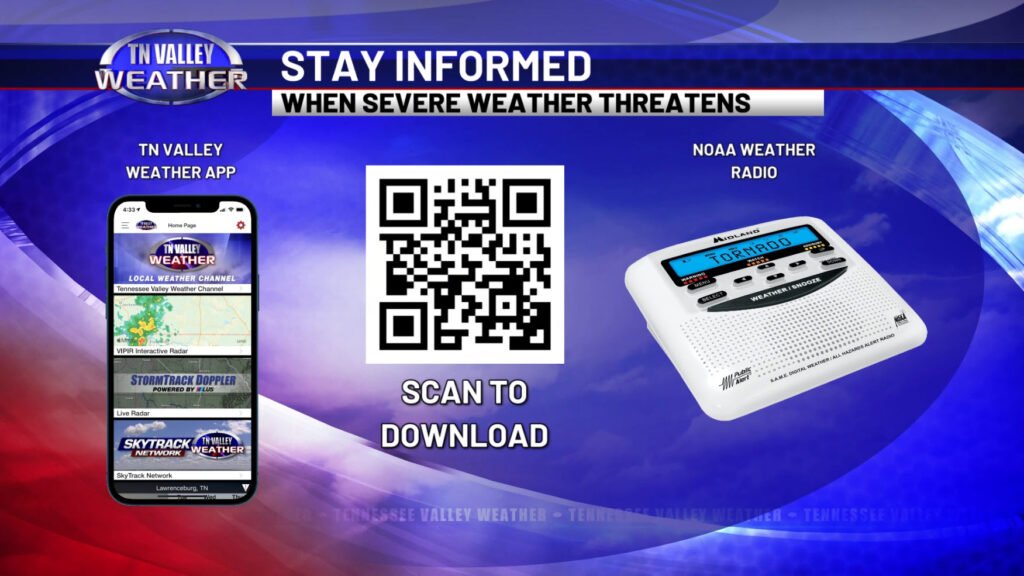
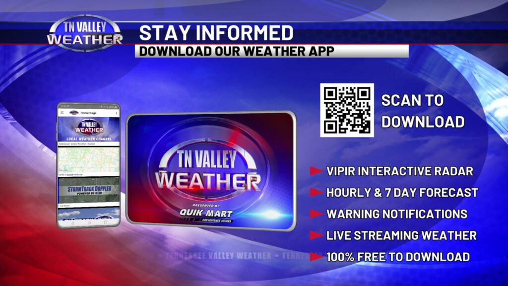

It is critical that you have a safety plan in place ahead of time today, and you have multiple reliable ways of hearing watches and warnings. It is very likely that our area will be placed in a Tornado Watch later today, probably roughly around midday. Know where you will shelter in the event your area is placed in a warning. Stay alert to changing weather conditions. The entire Tennessee Valley Weather Team will be in studio and ready to provide LIVE coverage later today as conditions warrant!
