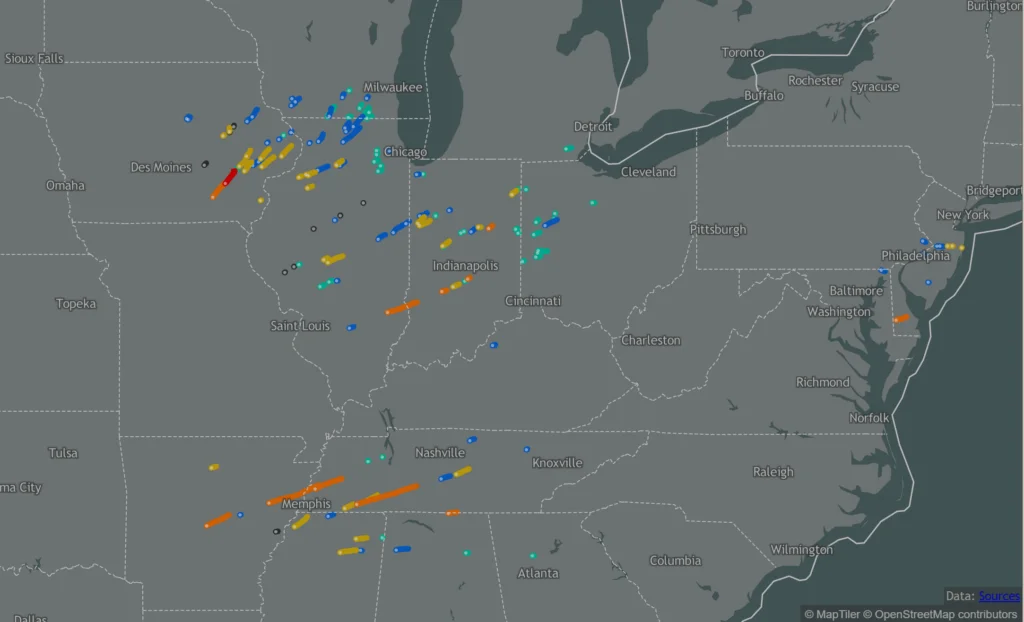
It’s been 1 year since the 3rd biggest tornado outbreak in American history took place. Do you remember the day? We certainly do.
As luck (or perhaps the lack thereof) would have it, the Tennessee Valley was the host of the longest-tracked tornado of the outbreak, an EF-3 tornado that impacted Bethel Springs and unfortunately killed 9, and was on the ground for some 85 miles straight.
This tornado was without question the most impactful tornado we’ve ever tracked in the 4 years of TN Valley Weathers existence, and it’s tornado that, in many ways, changed the way we operate from there on forward. I’d like to spend a bit of time reflecting on this night. – Bryan
In the hours prior, we were fairly lucky compared to those up north – a spurious warning here and there not withstanding, we in our coverage area were in a relatively low-intensity sector of the system as we passed sunset… but the end of the day doesn’t spell the end of the system.
We had a team dinner pretty late, and during this dinner, we were all discussing the concerning looking storms moving in from our West that weren’t here yet, but were sure on track to end up over us in due time. We wrapped our dinner up, and we got the ball rolling with live coverage when the big one began crept our way.
The first signs of trouble with this cell came via NEXRAD debris indications, alongside our friends with the Doppler on Wheels team, who were gracious enough to give us live data from their radar to use on-air (a first in tornado coverage). It was using this tool that we noticed the first truly concerning indications of tornadic activity moving QUICKLY into our area. An intense couplet (a feature of rotational velocities on radar) showing winds over 100mph is something we’d never seen so close-by, let alone at midnight – but that was just the beginning.
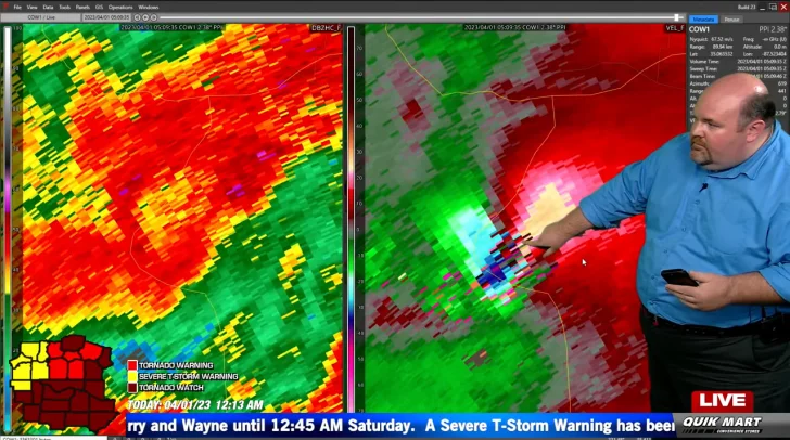
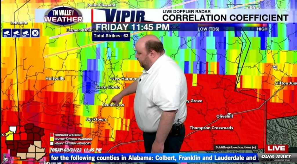
Even despite its distance from the government NEXRAD radars, as it continued east we noticed a remarkable debris signature – that is, the radar beam reflecting off of thrown objects, like bricks or tree limbs – tens of thousands of feet in elevation as it passed by Cerro Gordo and Savannah. We knew what was next in line: Wayne County. Of importance regarding that fact is that we have a robust camera network in that vicinity, which would give us a crucial perspective of this, despite the limited light of midnight. Nevertheless, using the lightning as a lighting tool, we turned the cameras west and waited.
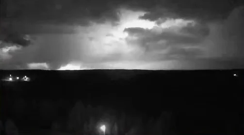
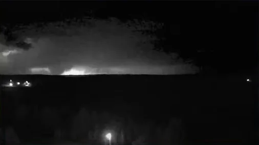
It was a matter of minutes later that, during the live coverage, it happened – a few lucky lightning strikes revealed something which we’d never seen before, at least live: a large, wedge tornado flying east in the general direction of our camera, near the peak of its strength. I remember this first glance at it well – our Kelli Rosson was working the camera computer, and I was behind her, with our chief, Fred Gossage, alongside Ben Luna alternating on the wall. When we got that first lightning bolt that revealed the funnel, I remember Kelli gasping, and I don’t blame her – my jaw certainly dropped when I saw it over her shoulder. It was around this time that
Fred rightly made the call that this was effectively, for portions of Wayne and Lewis Counties, a Tornado Emergency.
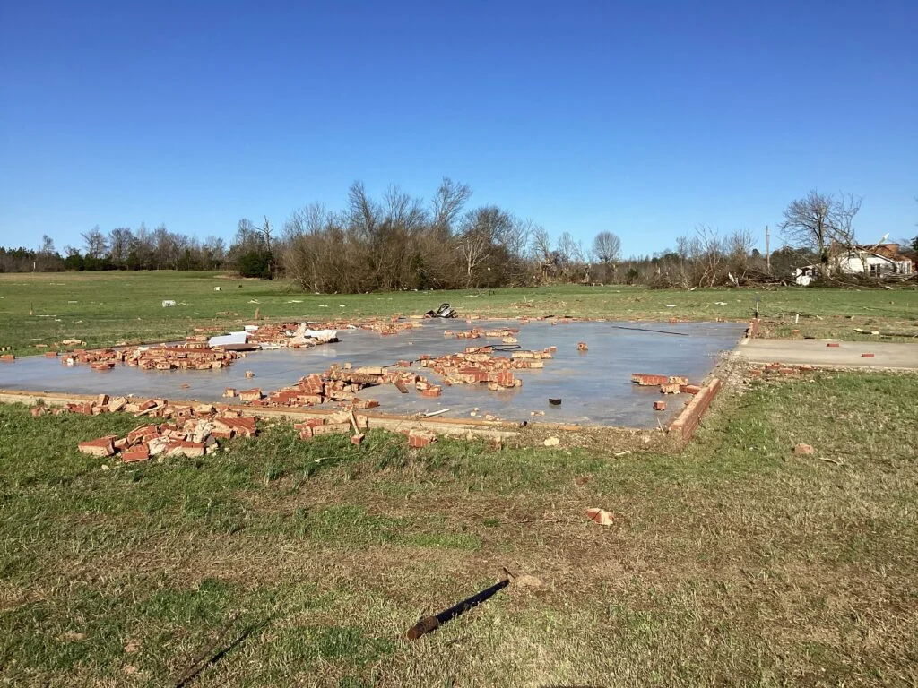
Unbeknownst to us but unsurprisingly, this call was more than justified. Pictured here is just one of the dozens of examples of complete destruction inflicted by the tornado in the minutes prior, just west in Bethel Springs. This building was the Community Center in town, but was completely leveled as the tornado reached max strength atop it. Fortunately, the building wasn’t occupied at the time, but sadly 9 others lost their lives, some of which were in mobile homes (a place you NEVER want to be during a tornado.
Remarkably, some of the debris from the swath of damage was found in completely different portions of the state. For example, a phone bill from a Wayne County resident was find some 101 miles away, in Wilson County.
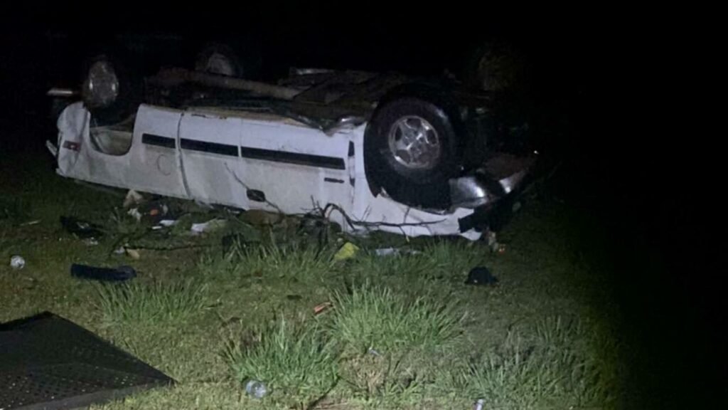
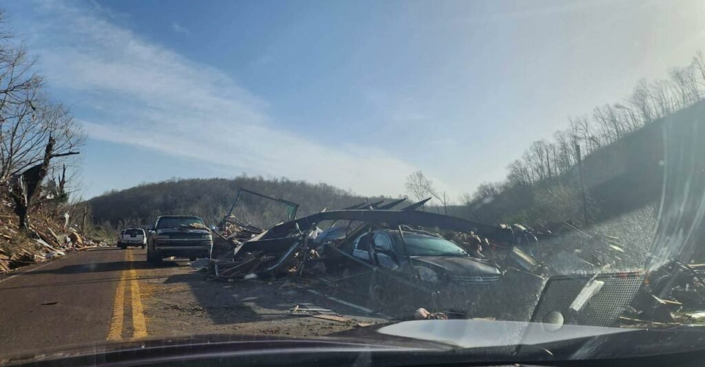
It wasn’t a surprise necessarily, but it’s a certain kind of gut punch when you start seeing the trickle of damage photos flow in from your coverage area – which we saw plentiful examples of in the subsequent hours. The tornado was on the ground for more than hour, incredibly enough, so there was a longer than usual delay in receiving images because of the extended shelter times… Above are a few couple viewer photos which were some of the early examples we received in the aftermath, and we naturally feared the worst, but were fortunately treated to something of a miracle – in our area, despite it being the dead of night, nobody was killed. We did unfortunately see 2 critical injuries (who have since been on the road to recovery), but no fatalities speaks to the awareness we – and you all – have of the weather down here. Stick with us, and perhaps we can keep it that way in the future!
