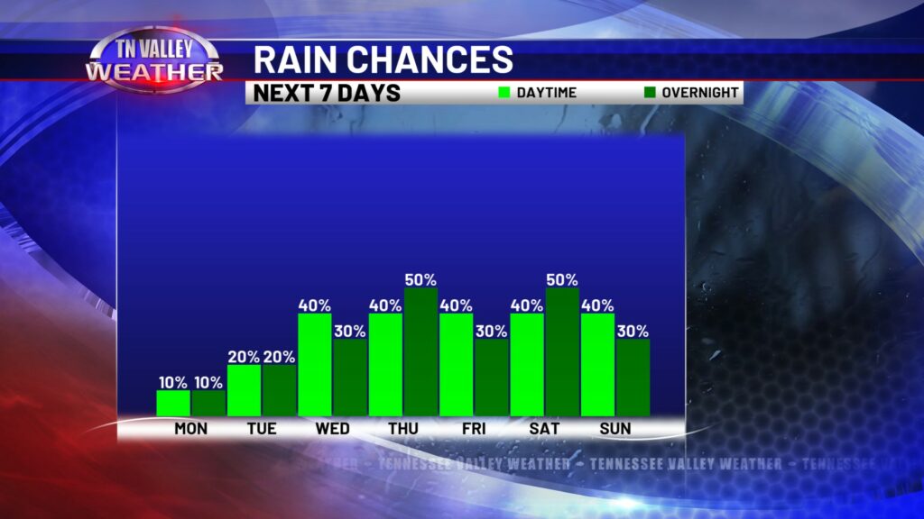
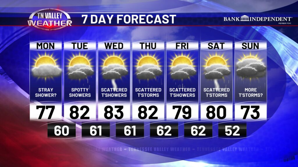
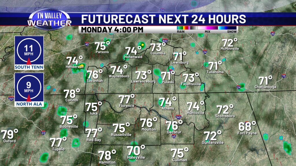
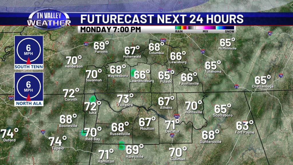
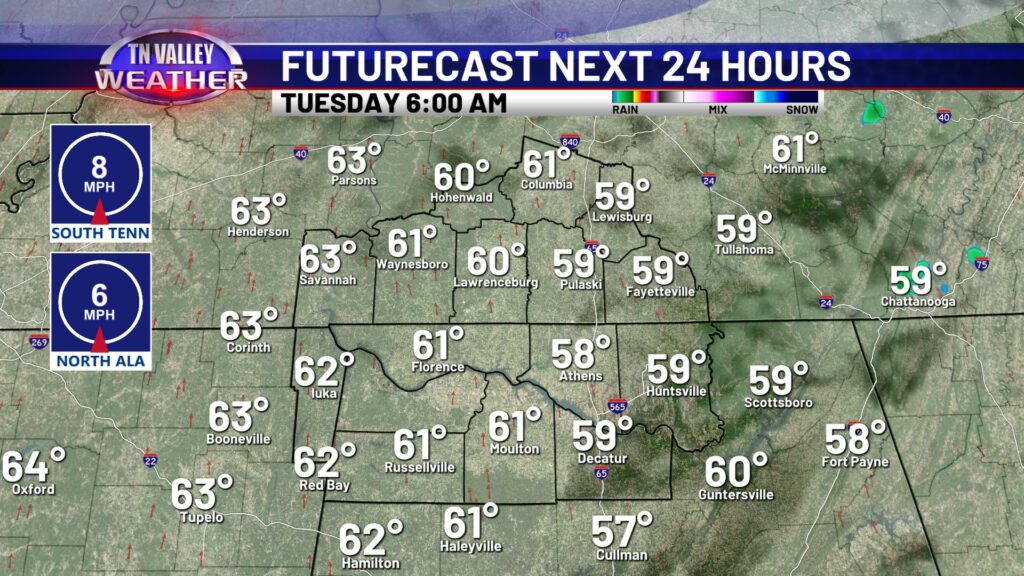
While last week was rather dry, this week is looking rather unsettled for the Tennessee Valley. I will say the good news is at this time we are not looking at any organized severe weather threat. We will be watching for changes! Today features a cloudy start, with a stray rain shower or two by the afternoon. Otherwise expect a partly to mostly cloudy sky with temperatures in the mid to upper 70s. Tonight will be mostly dry as clouds stick around, with low in the upper 50s to lower 60s.
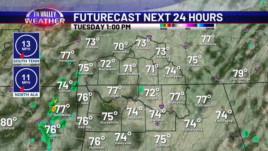
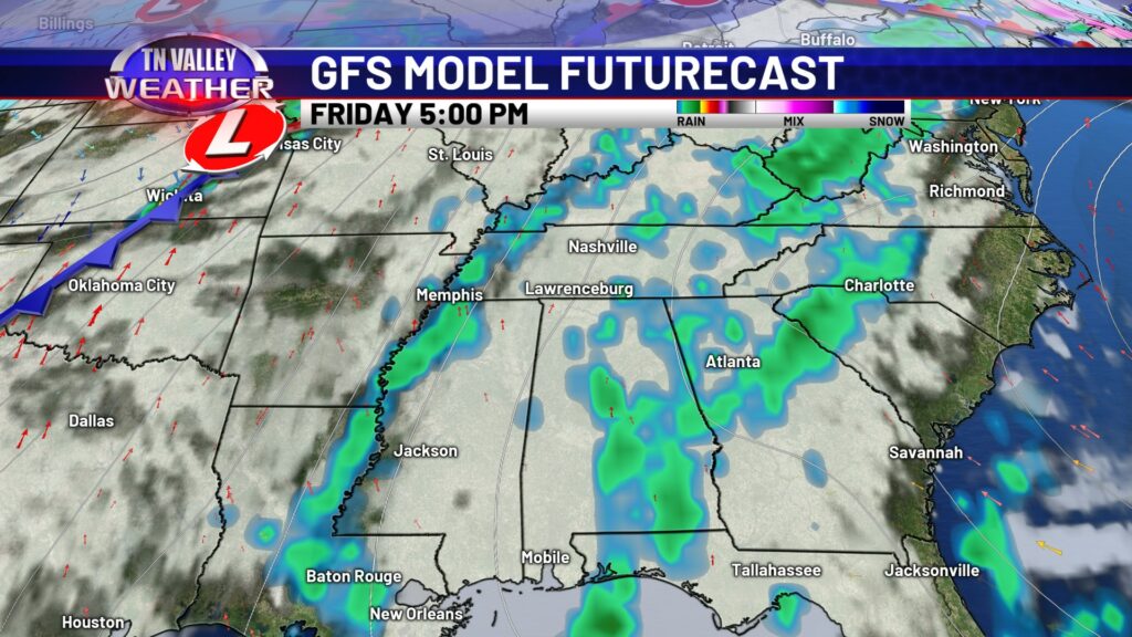
Tuesday features warmer temperatures with highs in the lower 80s. There is a spotty shower chance that is slightly higher than today’s rain chance, but I think most of the Tennessee Valley stays dry again Tuesday. It’s not until Wednesday and beyond rain coverage becomes more scattered, and we will add in some thunder to the mix. Scattered thunderstorms look to move through later in the evening Thursday, but again this system is not looking severe at this time. A few thundershowers will be around Friday, before higher rain and storm chances arrive heading into the weekend.
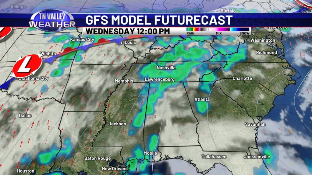
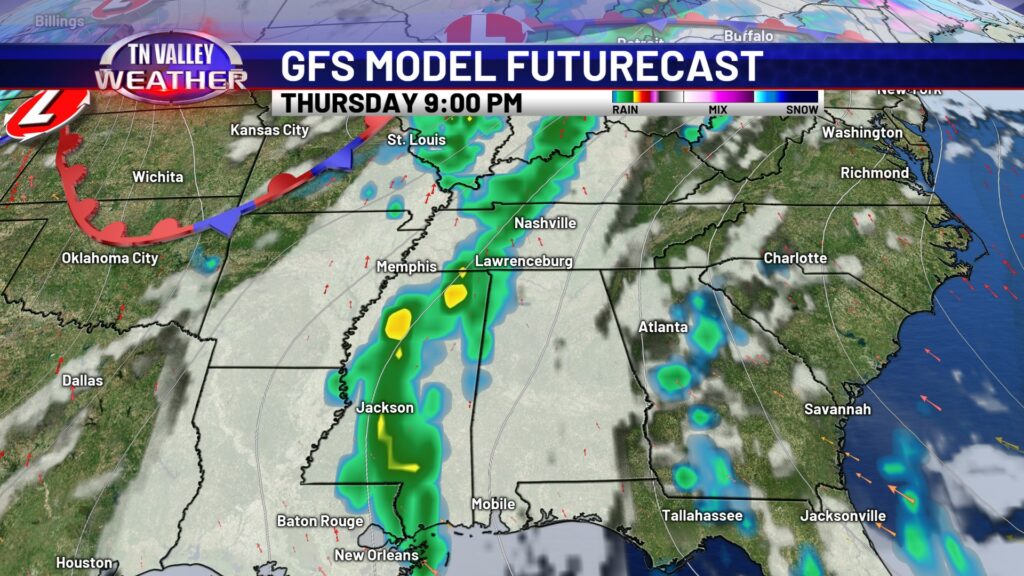
We will likely have to increase Thursday night’s rain chance, along with weekend rain chances as soon as we see a bit more model agreement in the weather data. Temperatures remain pretty steady through the week, but a grand finale system toward the end of the weekend looks to switch things up a bit. Again, we are not tracking any severe weather threats within the next 7 days here locally, but we are keeping an eye out. April in the Tennessee Valley is no stranger to severe weather.