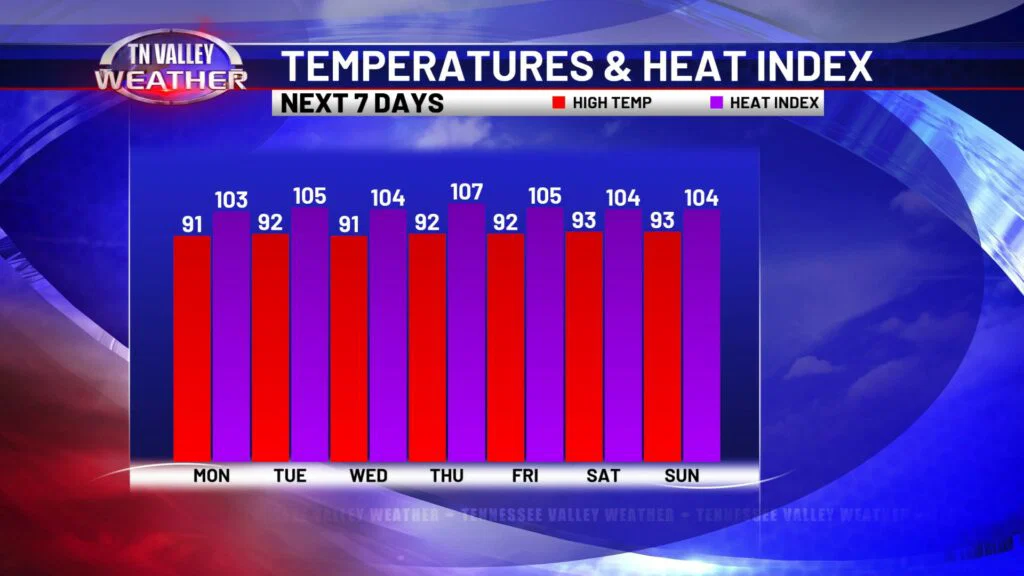
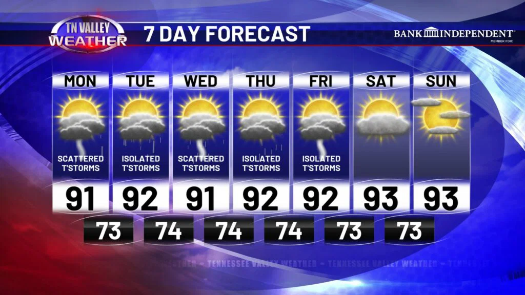
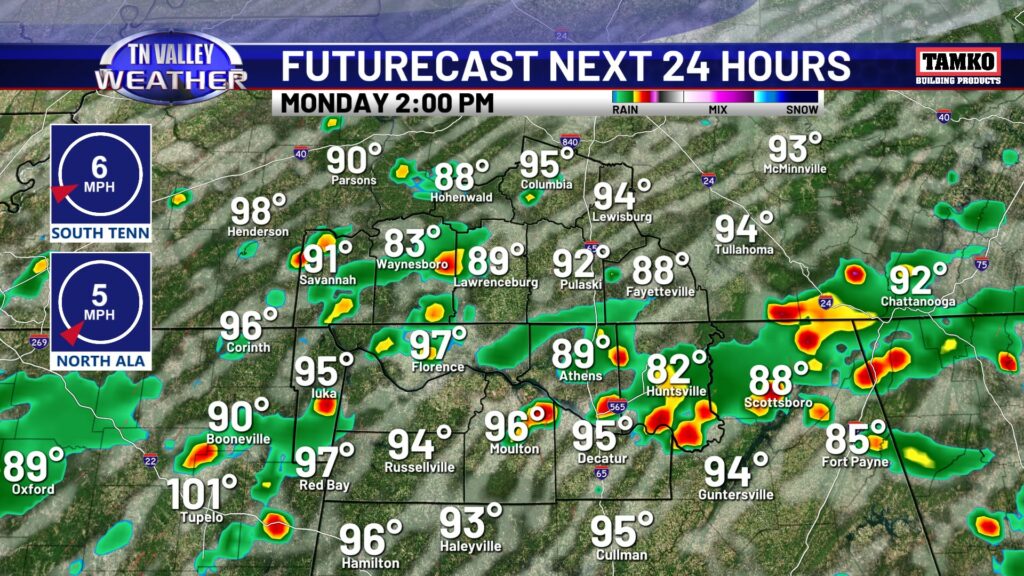
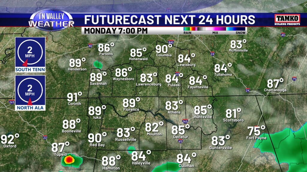
Entering into mid-August in the Tennessee Valley and the forecast is certainly reflecting that. Hot, humid and thunderstorms are the talk of the week! Afternoon scattered thunderstorms may produce heavy rainfall and frequent lightning, and aside from thunderstorms temperatures will be in the lower 90s. Heat index values will be around 100° this afternoon. Thunderstorms fizzle out after sunset, temperatures will cool back down to the lower 70s with some patchy fog after midnight.
Tuesday will be a touch warmer and we might fall under Heat Advisory criteria, with heat index values closer to 105°. I think rain coverage will be slightly lower Tuesday, but isolated thunderstorms are still possible between lunch and dinner time.
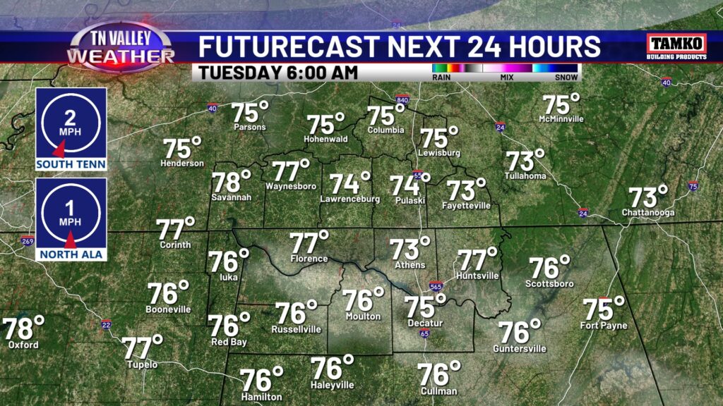
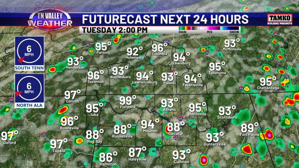
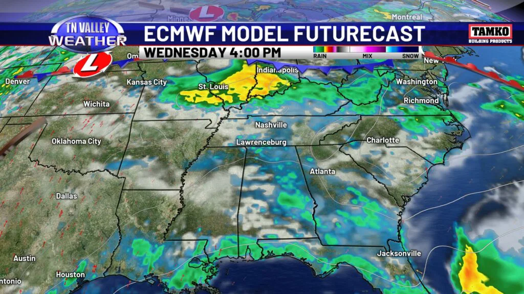
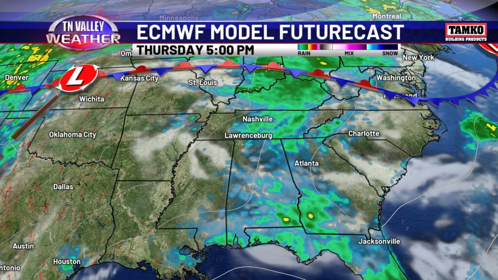
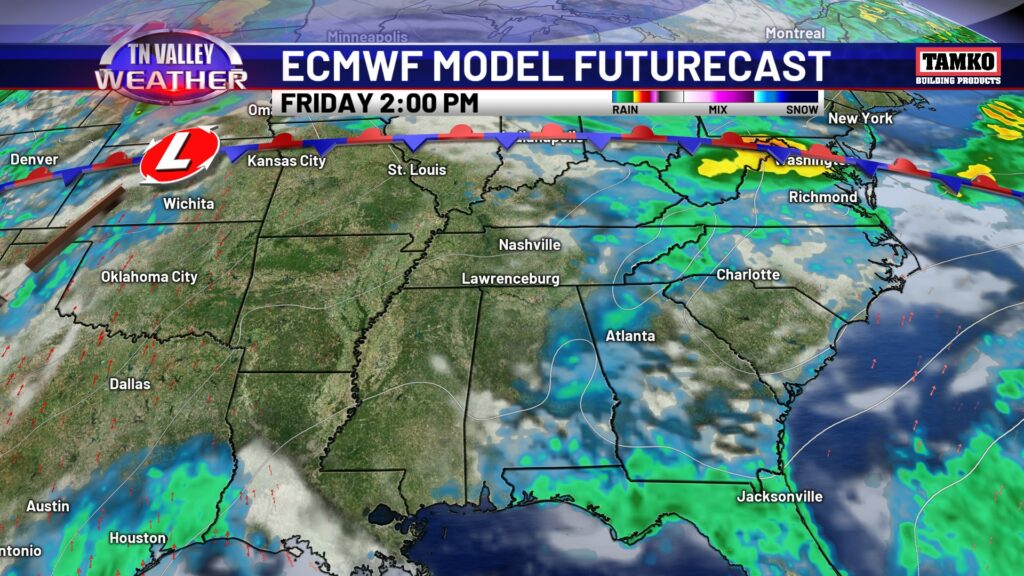
Not much change to temperatures and heat index values for the rest of the week. Wednesday holds a scattered thunderstorm chance during the afternoon and evening. Thursday and Friday isolated thunderstorms will be around, but a lot of folks will stay dry compared to Wednesday’s chances.
Here is a look at what you can expect with air temperatures (staying in the low to mid 90s) and heat index values (feeling like 105° pretty consistently!) Good news! Weekend looks dry…for once! However, that will allow temps to be a bit warmer, mid 90s likely.