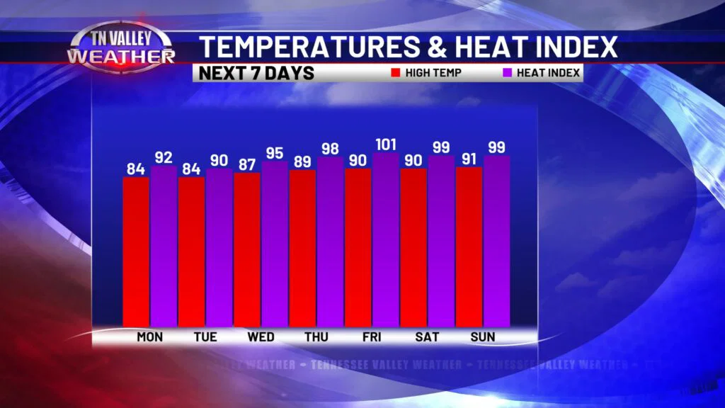
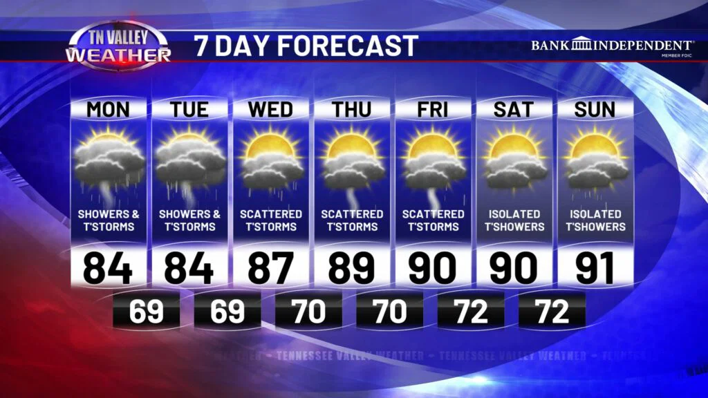
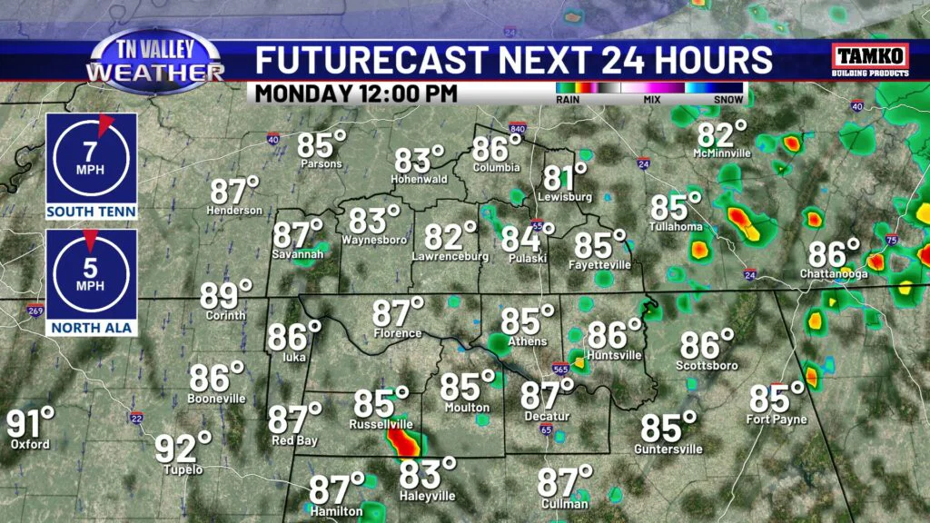
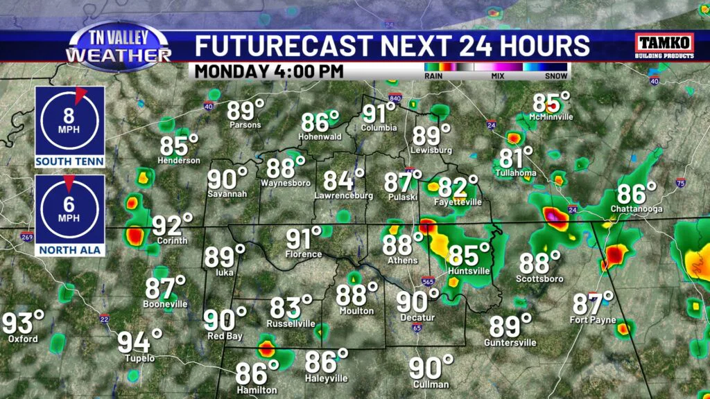
Confirmed: it’s mid-July in The South. Daily rain and storm chances, heat and humidity…yep, it checks out! Today is no exception, but I will say it *could* be warmer. We’ve had overcast skies all morning, so sunshine hasn’t warmed us as efficiently so far this morning. We will likely top out in the low to mid 80s today, but humidity is still here if intense heat is not. Expect showers and storms through sunset, before activity is expected to fizzle out. We do not expect severe storms today, but every summertime storm runs the risk of heavy rain and frequent lightning. Tonight will be partly cloudy with some patchy fog, and lows in the lower 70s.
BY THE WAY! Today and Tuesday, rain and storms will be moving in a more east-to-west fashion as opposed to the typical west-to-east direction. Keep that in mind when checking radar on our FREE app!
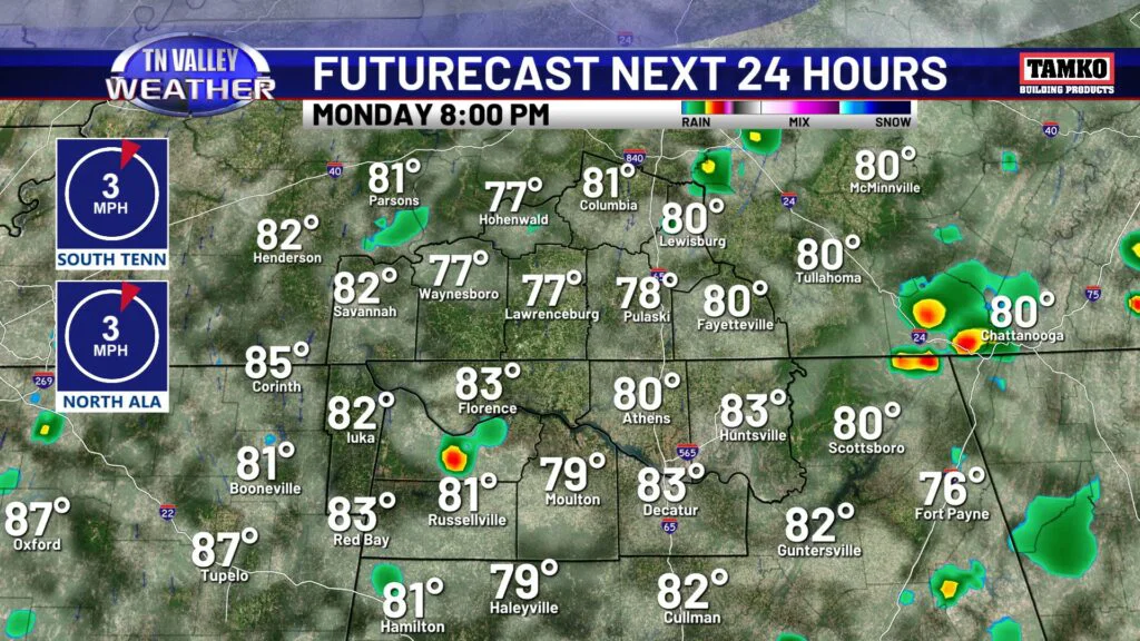
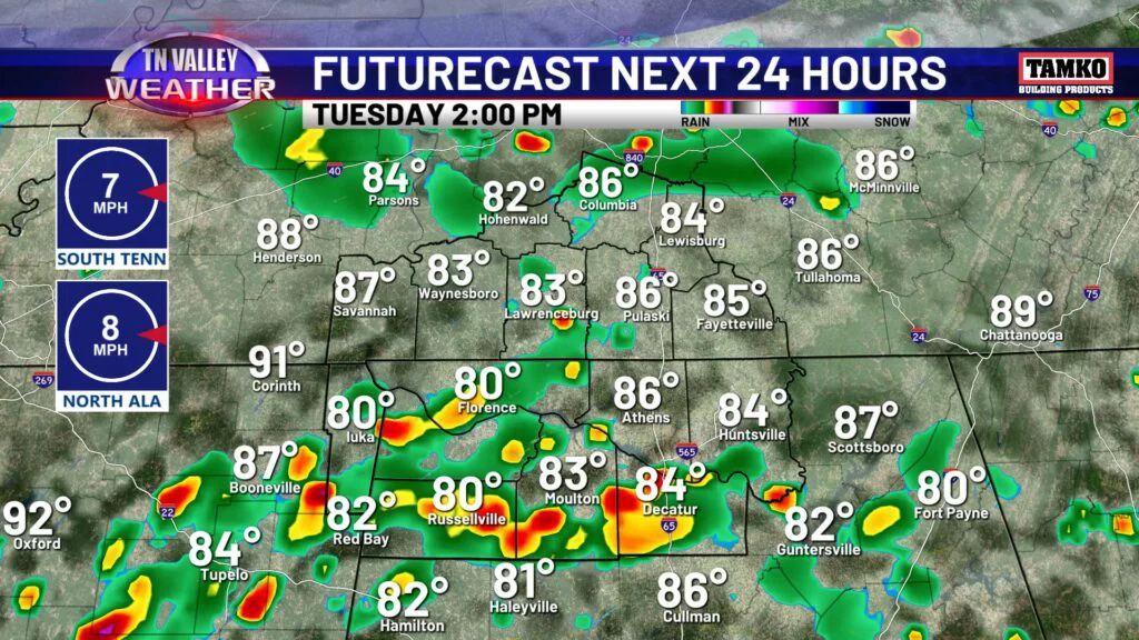
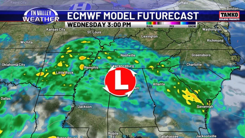
Tuesday also features highs in the low to mid 80s, with scattered to widespread rain and storms. Again, no severe weather is expected. In fact, that goes through the rest of the week! A stationary front is parked nearby, keeping storms nearby for the next several days as well. By Wednesday we will see a pattern flow shirt, and rain and storms will move west to east again, although there may be some slow movers Wednesday as the switch up occurs.
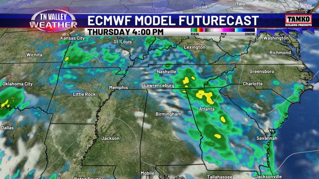
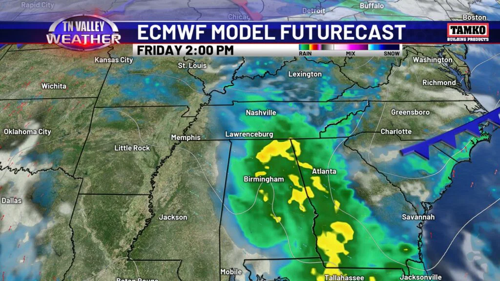
Heat is tolerable to start the week, but as rain chances lower heading into the weekend, temperatures will increase. Temps won’t be anything abnormal for mid-July, but it will be noticeably warmer this weekend compared to how the week is starting off.