

If you enjoyed the weather on Monday, we expect more of the same for today. Mostly sunny skies, warm temperatures, and a light north to northeasterly wind. Daytime highs this afternoon will be in the mid to upper 80s. There’s a 10% or lower chance of a spotty stray sprinkle or shower today over north Alabama, especially in the communities near and east of I-65. However, almost all of us will stay dry. As we head into tonight, we expect mostly clear to partly cloudy skies with overnight lows ranging once again from the upper 50s to the mid 60s.


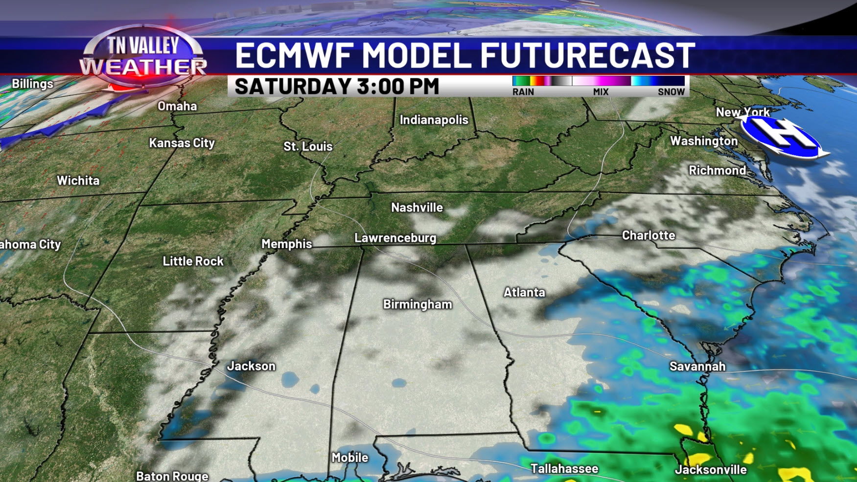


We expect more of the same weather for Wednesday as well, with mostly sunny skies and mid to upper 80s once again by the afternoon. Just like today, there is a tiny chance of a stray shower or two (10% or less), but almost all, if not all, of us look to remain dry. We relax daytime highs back to the lower 80s and overnight lows to the mid to upper 50s as we head closer to the weekend as drier air temporarily moves in. Clouds will start to move northward over the weekend, especially by Sunday, as moisture begins coming northward again. Although the GFS starts bringing rain into the area as early as Sunday, it is the only model that fast with the activity, but we have seen enough consistency across various model guidance to begin adding shower chances for next week as early as Monday as deeper moisture comes northward from the Gulf, and we begin to get a more active storm track pattern to our northwest again.


A quick early look ahead into next week from the NWS Climate Prediction Center suggests temperatures are likely to remain a little above average. Keep in mind that we will be into the first full week of October by then, and the average daytime high is in the upper 70s. If we’re only into the low/mid 80s, we are verifying that forecast of above average temps. That red does NOT mean we are going to be brutally hot or anything remotely close to it! We also look to have precipitation chances near or slightly above average. This jives well with what we see concerning deeper moisture coming back and at least off and on waves of showers and maybe a few thunderstorms next week. Overall, however, we don’t see any major weather systems affecting our local area here for at least the next 7 to 10 days!