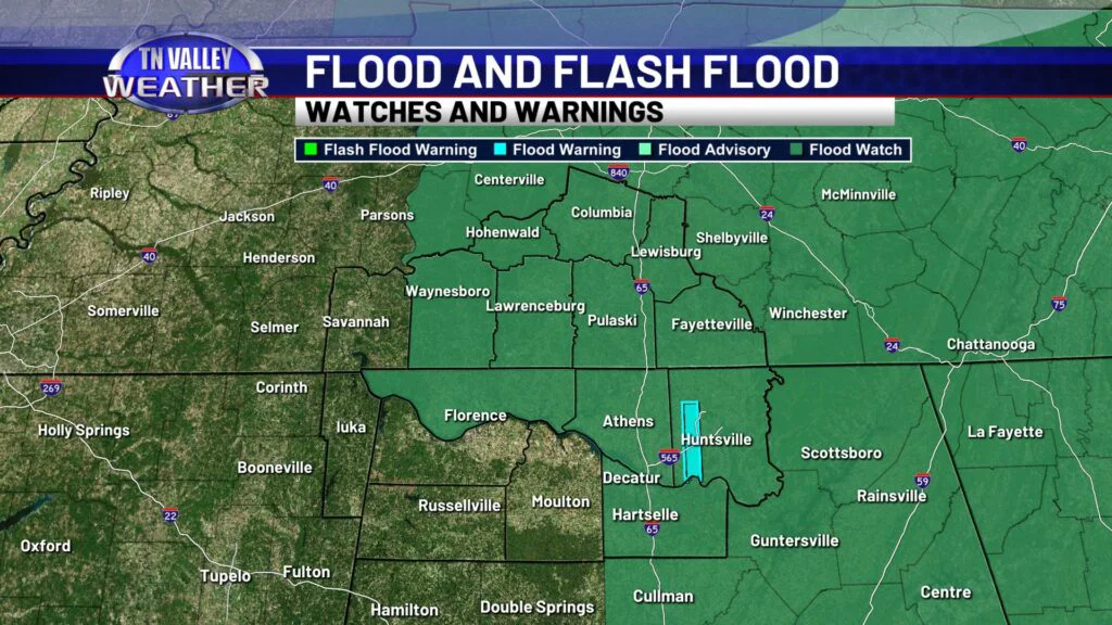
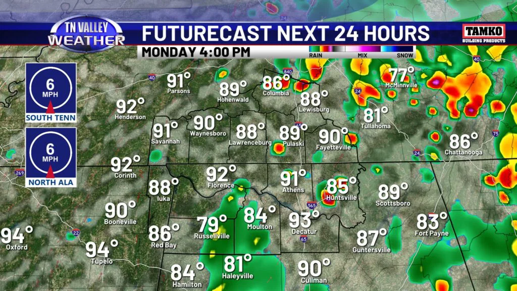
If you think we got enough rain yesterday, well, we are not done yet. More rain and storms are expected today, continuing our flooding and flash flooding potential here in the Tennessee Valley. A Flood Watch is in effect for a good portion of our coverage area through 8pm tonight. Stay vigilant on the roads, and remember the life-saving phrase: turn around don’t drown!
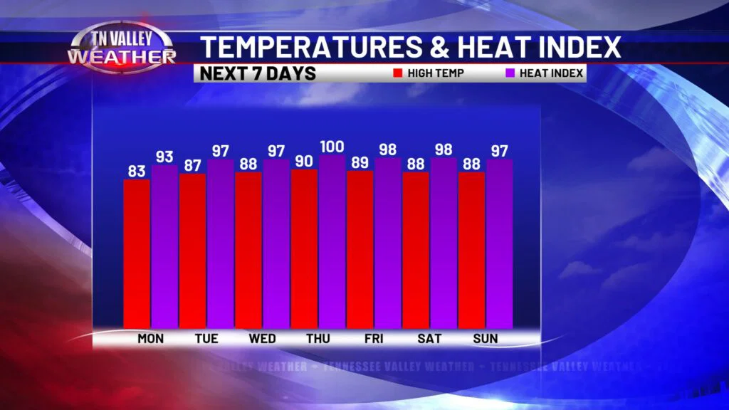
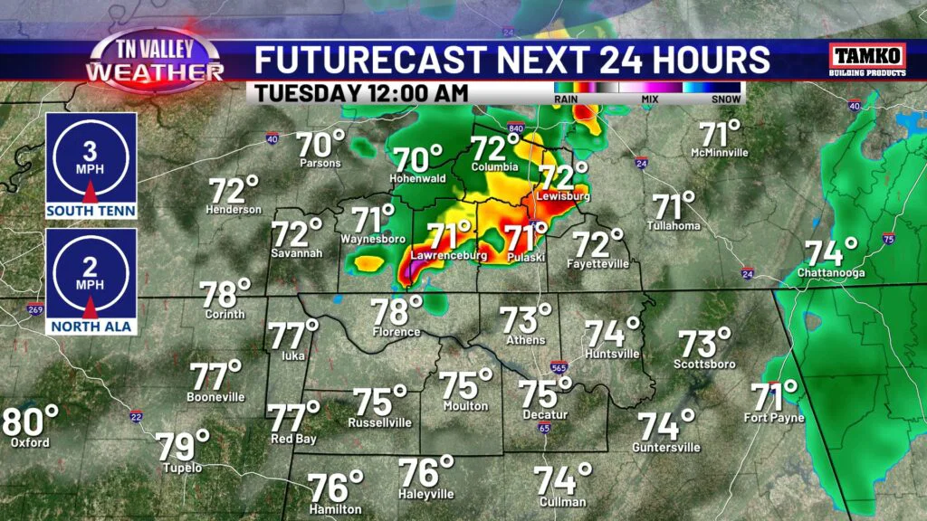
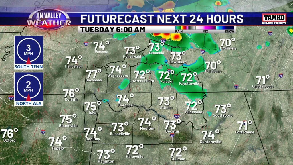
We’re not in the unbearable department when it comes to the heat and humidity just yet, today will be in the low to mid 80s with humidity in the air, but it’s going to get much worse later this week. More on that down below. For today’s rain coverage, expect scattered to widespread rain and storm activity once again. Some areas may see another few inches of rain, which is why the Flood Watch remains in effect. Rain and storm chances continue overnight tonight. Scattered storms are in Tuesday’s forecast, but I do think coverage will ease up just a bit, not as widespread as today or yesterday.
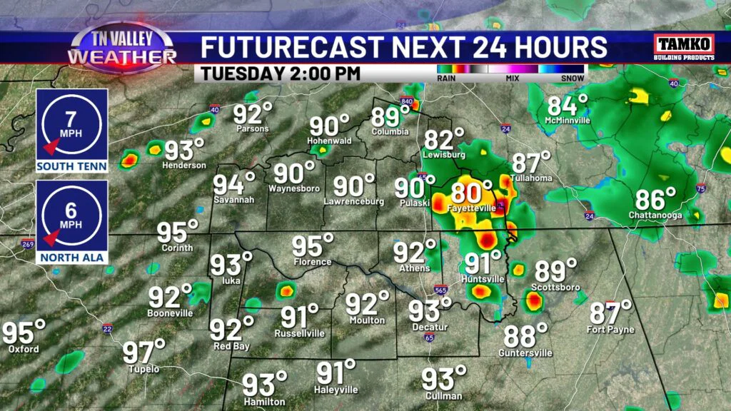
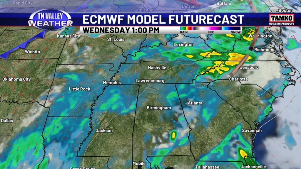
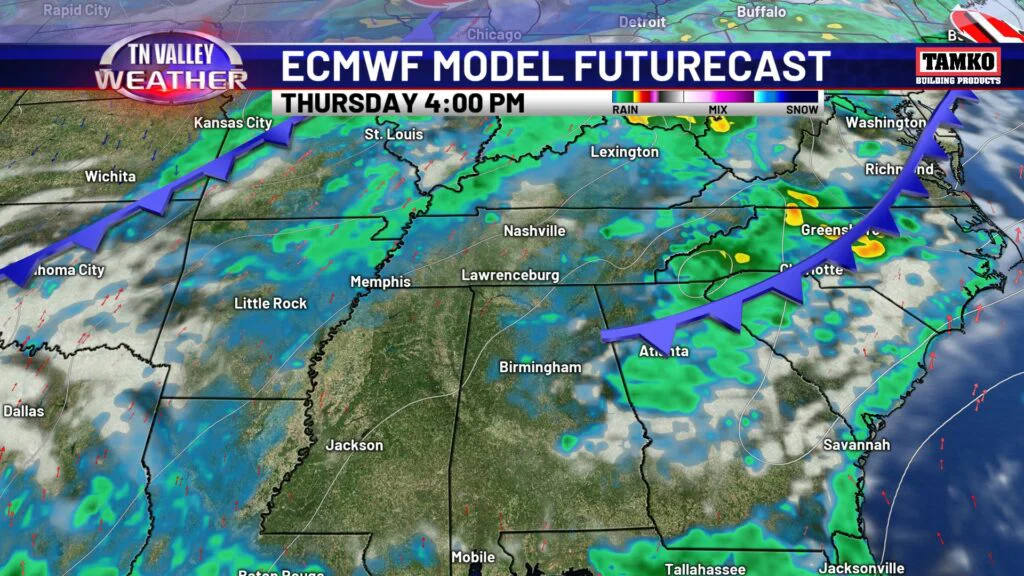
Heading into the middle of the week, rain chances will be more spotty, with isolated t’showers Wednesday and Thursday. Sounds great in theory, right? Unfortunately we will trade the rain for more intense heat and humidity. We are talking highs in the upper 80s and heat index values pushing triple digits! Vulnerable individuals susceptible to heat related complications will have to be cautious by the middle and end of the week.