We’ve already had thunderstorms wake some of us up this morning, especially if you are west of Highway 43. Storms have not been severe but they have been dumping heavy rainfall and producing frequent lightning. Thunderstorms will continue west of Highway 43 until mid to late morning, but the rain chance doesn’t end there. Pop-up isolated thunderstorms are in the forecast for this afternoon. It won’t be a washout of a day, but the chance goes beyond this morning. We will watch for localized flooding issues as some of these big rain producers have been going over the same areas.


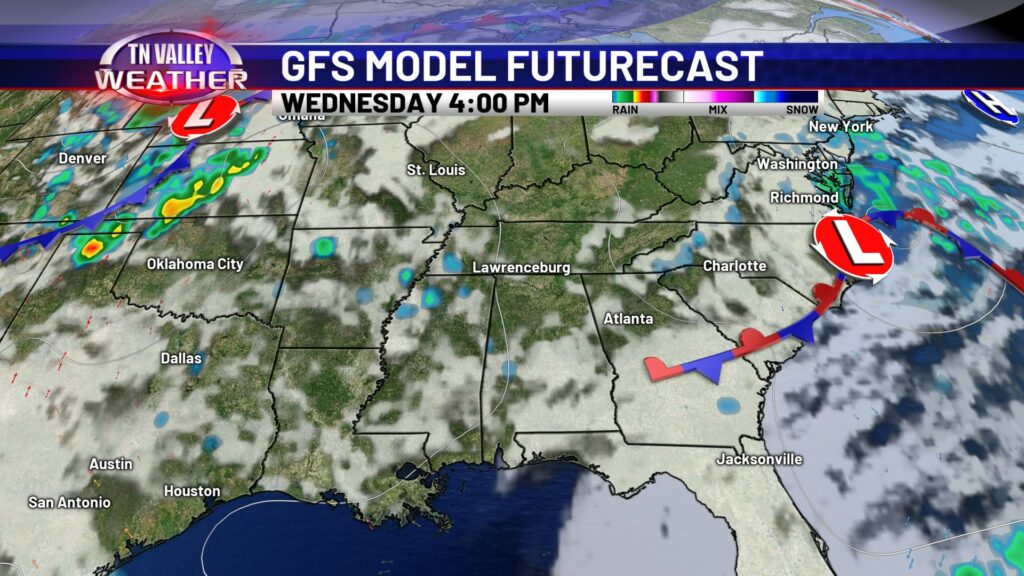
This evening as the thunderstorm chance begins to wind down, we cannot guarantee a completely dry overnight. Thundershowers may linger into the overnight hours, although coverage will be sparse if anything. A few thundershowers will pop up Tuesday, but they will be isolated in nature and a lot of us will stay dry under a partly cloudy sky. Drier days are just ahead, as Wednesday and Thursday do not have any rain chances on the board at this time.


Because conditions are looking drier by mid-week, temperatures will be slightly warmer due to more sunshine. You won’t feel much of a difference because upper 80s is still quite warm. Temps stay warm through the weekend but they do fall back into the upper 80s for highs, as we reintroduce daily isolated t’storm chances.

