

After some active storms across parts of the area, especially in north Alabama, on Wednesday… we are back to quiet weather for our Thursday. Drier air has at least temporarily filtered into the area. Expect mostly sunny skies and that drier air that heats more efficiently to allow daytime highs to climb into the lower 90s across the area by afternoon. A few clouds overnight, but low-level moisture will start gradually but increasing. That, and more of a southeasterly wind will keep overnight lows hanging out into the mid 60s for most folks.
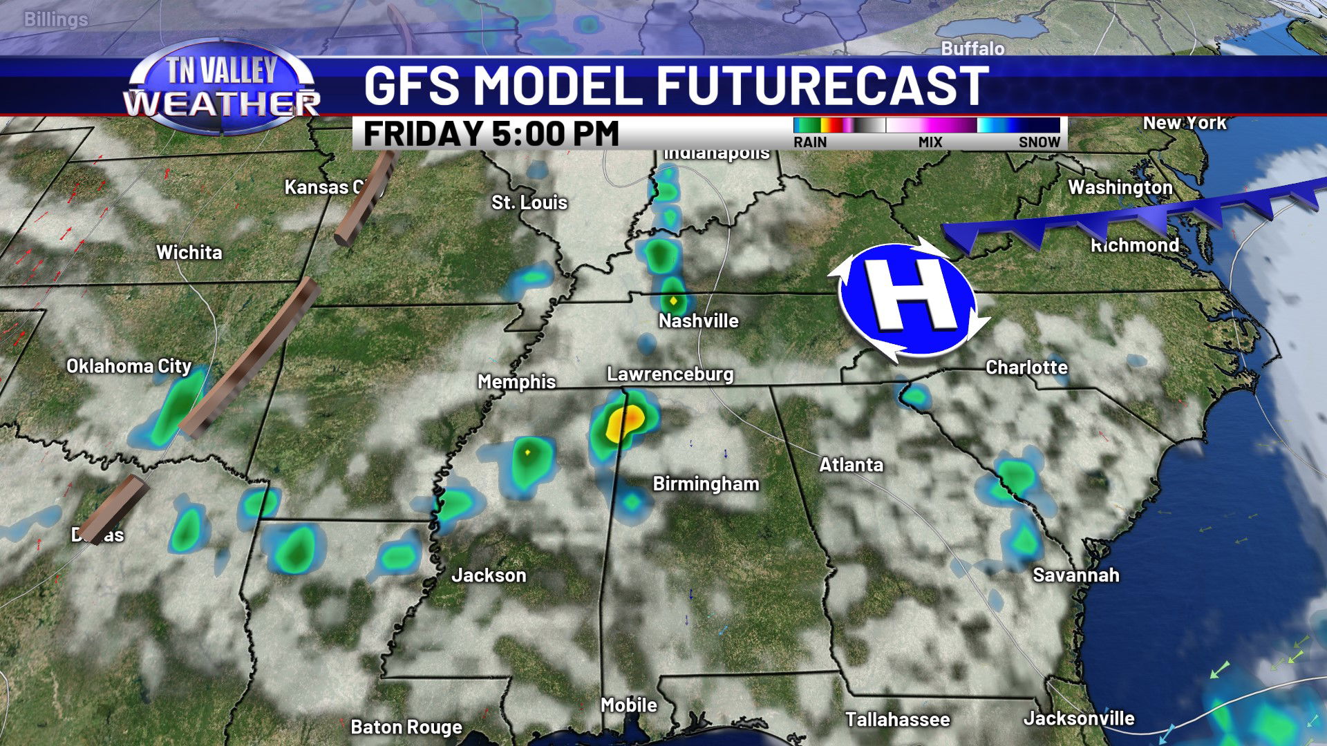

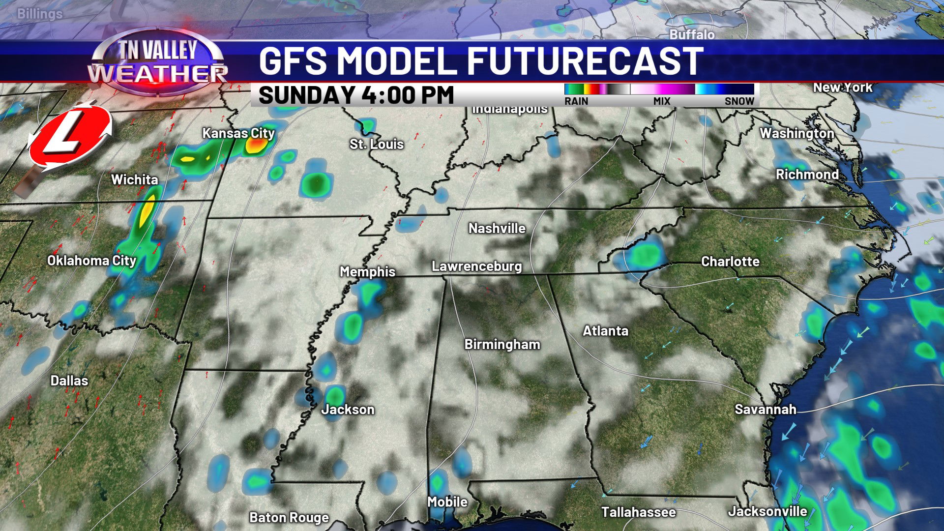

The upper ridge that’s been centered just to our west that’s driven the warmer temperatures will be breaking down Friday into the weekend. This will allow a few disturbances to skirt by just to our northwest, giving the chance of a few isolated to widely scattered showers and thunderstorms Friday afternoon/night and again on Saturday. No widespread drenching rain is expected, but if you get under one of the spotty storms, lightning, heavy rain, and gusty winds can be expected. An isolated storm or two is possible on Sunday also, but the main action will be west of us. Daytime highs go from the lower 90s on Friday back to the mid to upper 80s from the weekend into next week as that upper ridge breaks down.


A more active weather pattern takes shape as early as the beginning of next week. Upper troughing shifts into the Plains and Mississippi Valley with multiple disturbances riding through and tapping moisture from the Gulf. This will increase the chance of daily scattered showers and thunderstorms as early as Monday and lasting through a large part of next week, as of how things look now. We still don’t see any obvious signals for widespread heavy rain, but we may need to watch to see if some tropical remnant moisture from the eastern Pacific tries to get entangled in the flow. That may cause us to need to go up on the rain chances at some point next week. We will be watching for those possible trends…