
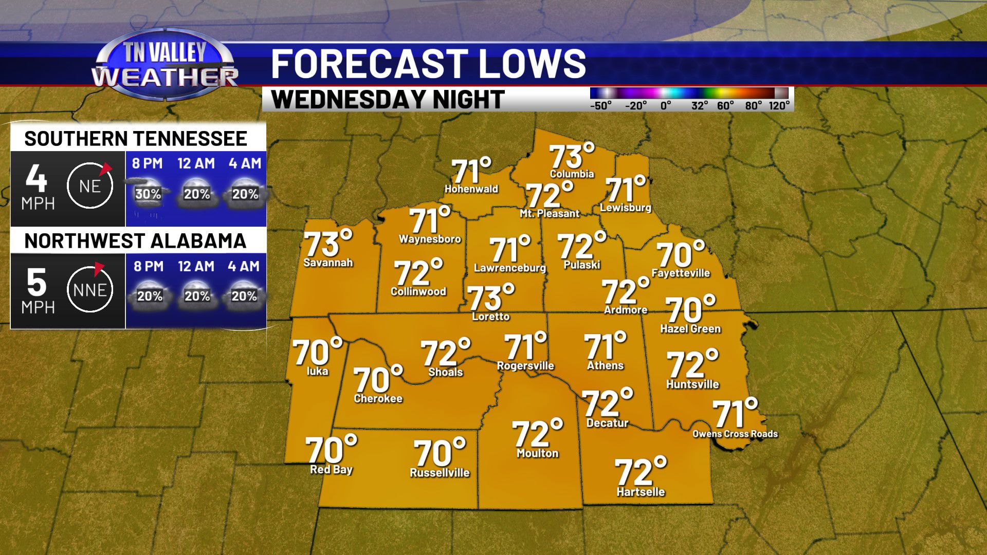
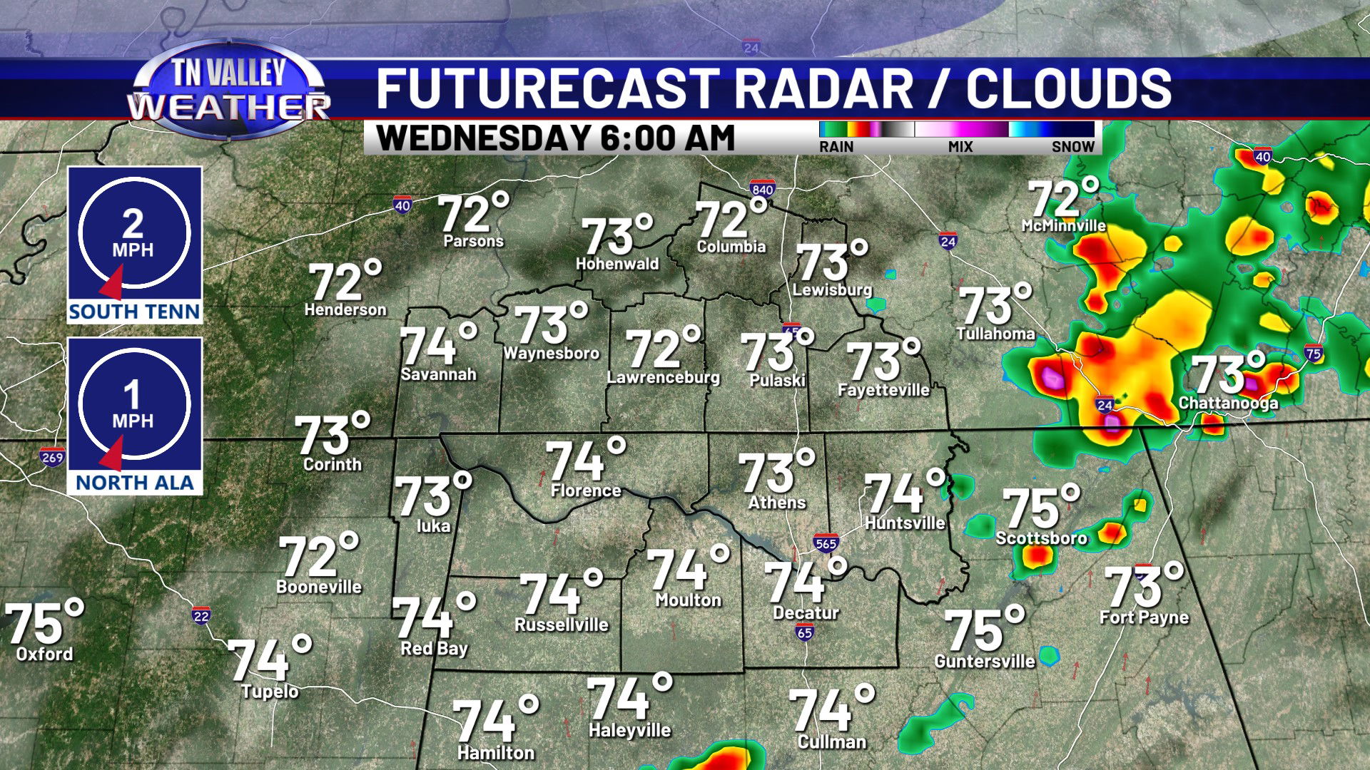
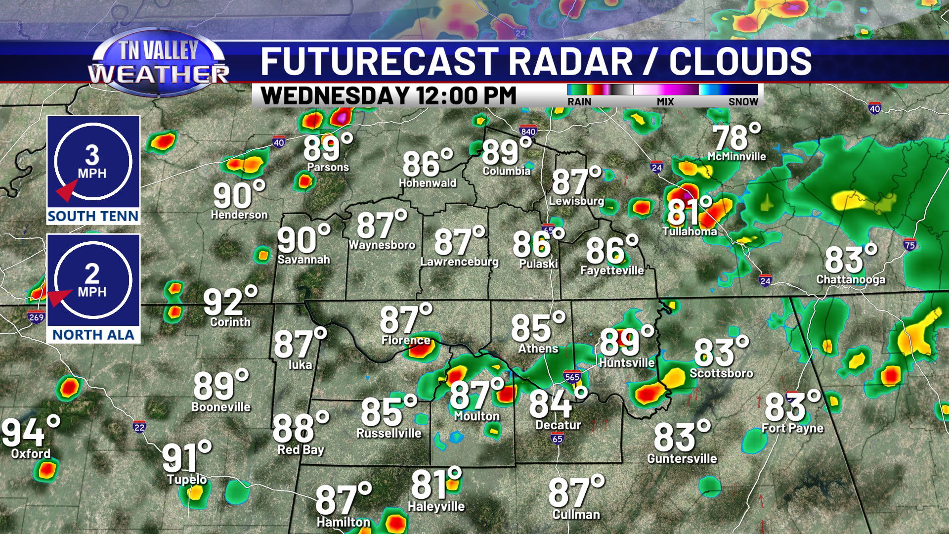
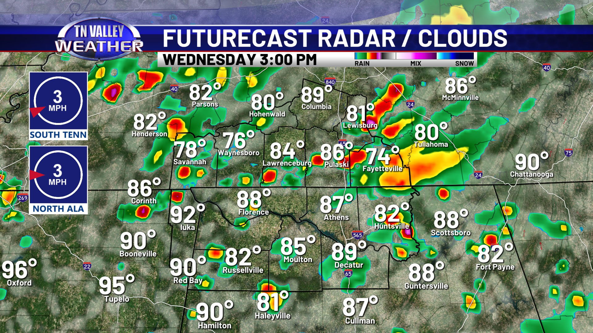
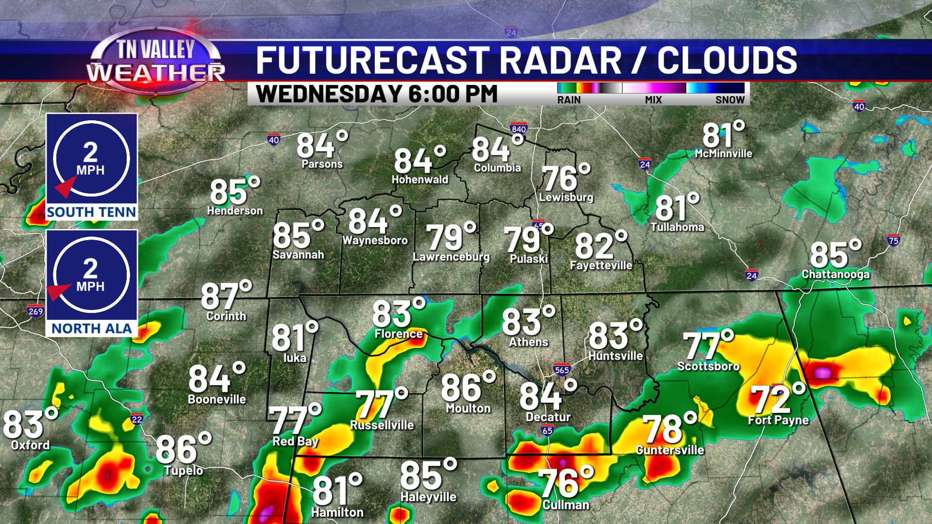
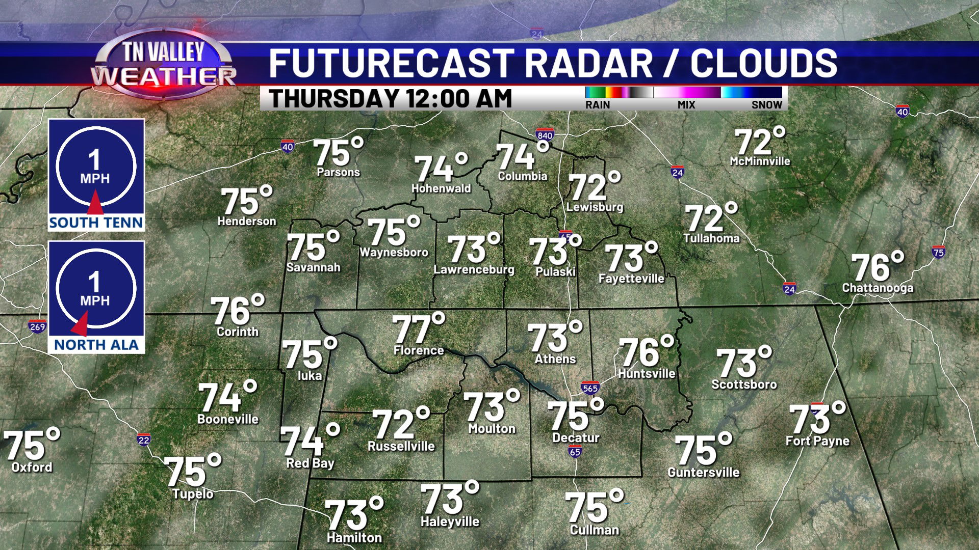
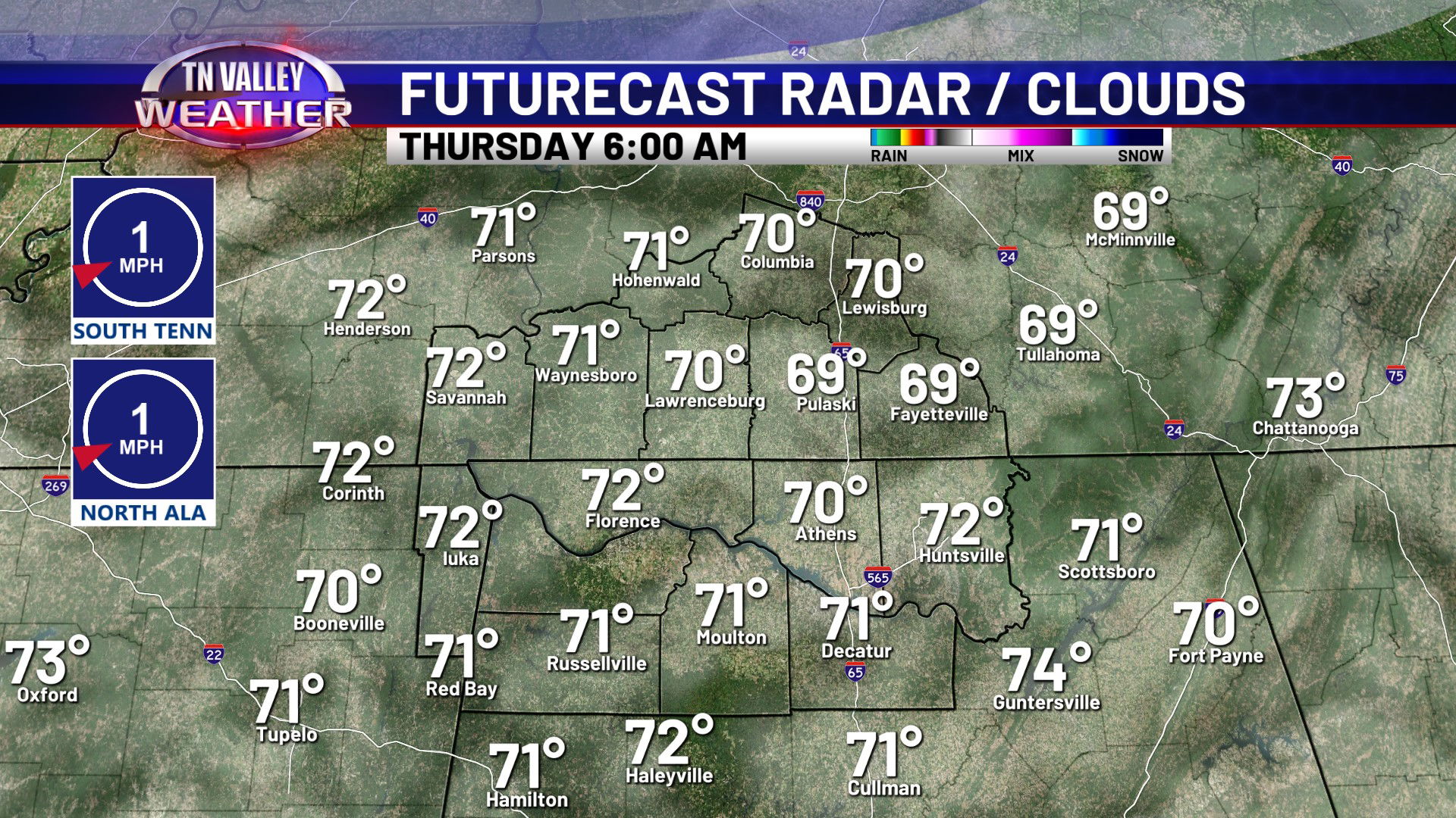
After the showers and thunderstorms we have had across the area this afternoon and evening, more are on the way for Wednesday. There could be a few isolated thundershowers around as early as the morning hours, but the main activity is most likely from the midday through the afternoon and early/mid evening. Not every single person is going to see rain, but the showers and storms will be pretty widespread. If you get one, heavy rain, lightning, and isolated 30-40 mph wind gusts are the main concerns. We’re not really expecting severe weather concerns. Skies will otherwise be partly sunny to mostly cloudy with daytime highs ranging from the mid 80s in north Alabama where cloud cover will be thickest to the lower 90s along and northwest of the Natchez Trace Parkway in our Tennessee counties where rain will be a touch less widespread and there will be more sun breaks. By the evening, showers and thunderstorms will gradually calm down with the loss of daytime heating, but we will leave in a small chance of rain for the overnight as a just in case. Mostly cloudy skies will be around otherwise with overnight lows in the lower 70s.
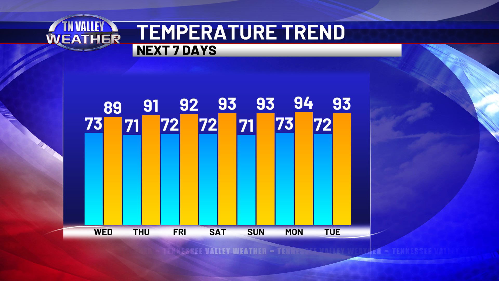
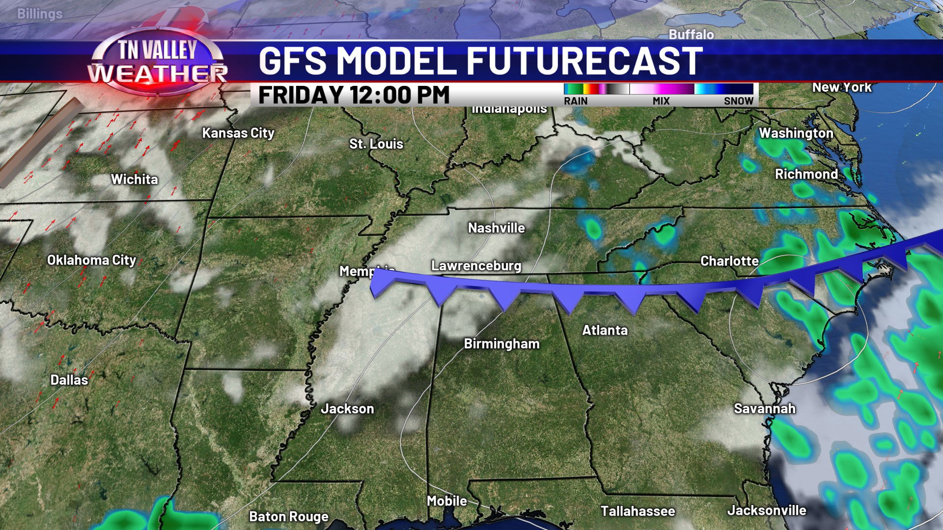
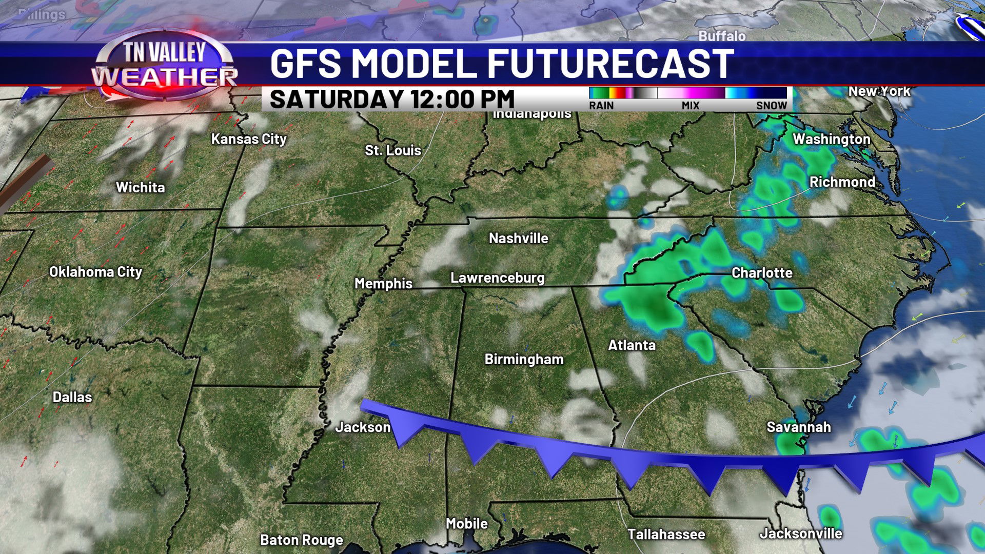
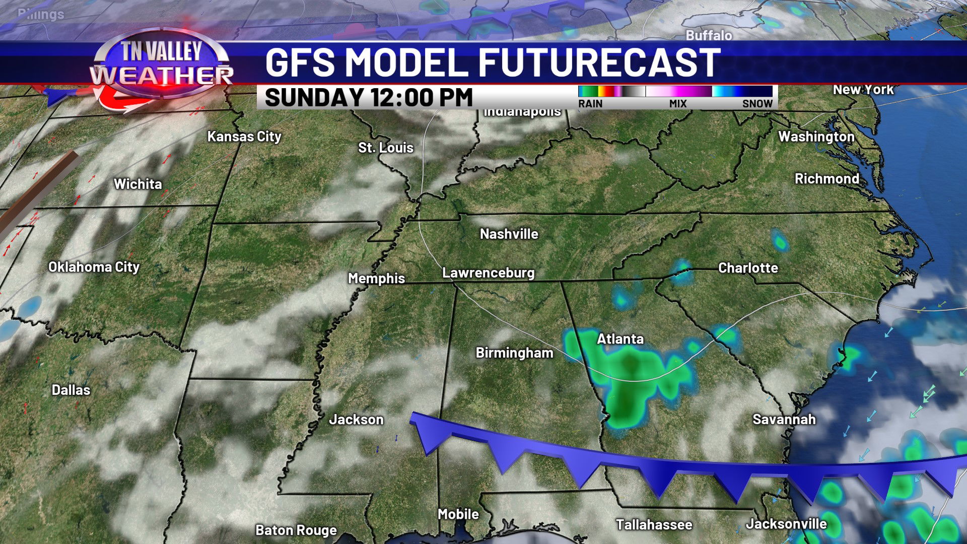
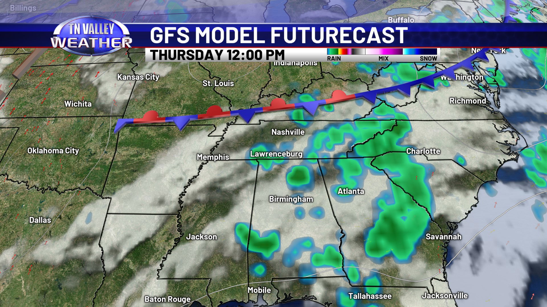
We will still have scattered showers and storms around for Thursday, but they will be a little less numerous as a frontal boundary shifts in from the north and the deeper tropical moisture starts getting pushed south a bit. That drying trend continues for Friday and the weekend. Any showers or storms will be much much more isolated, and if these trends continue, we may be able to remove rain chances from the forecast for those days. Daytime highs start easing back into the low to mid 90s as that happens.
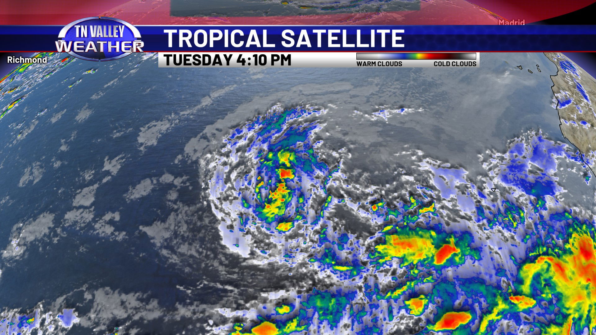
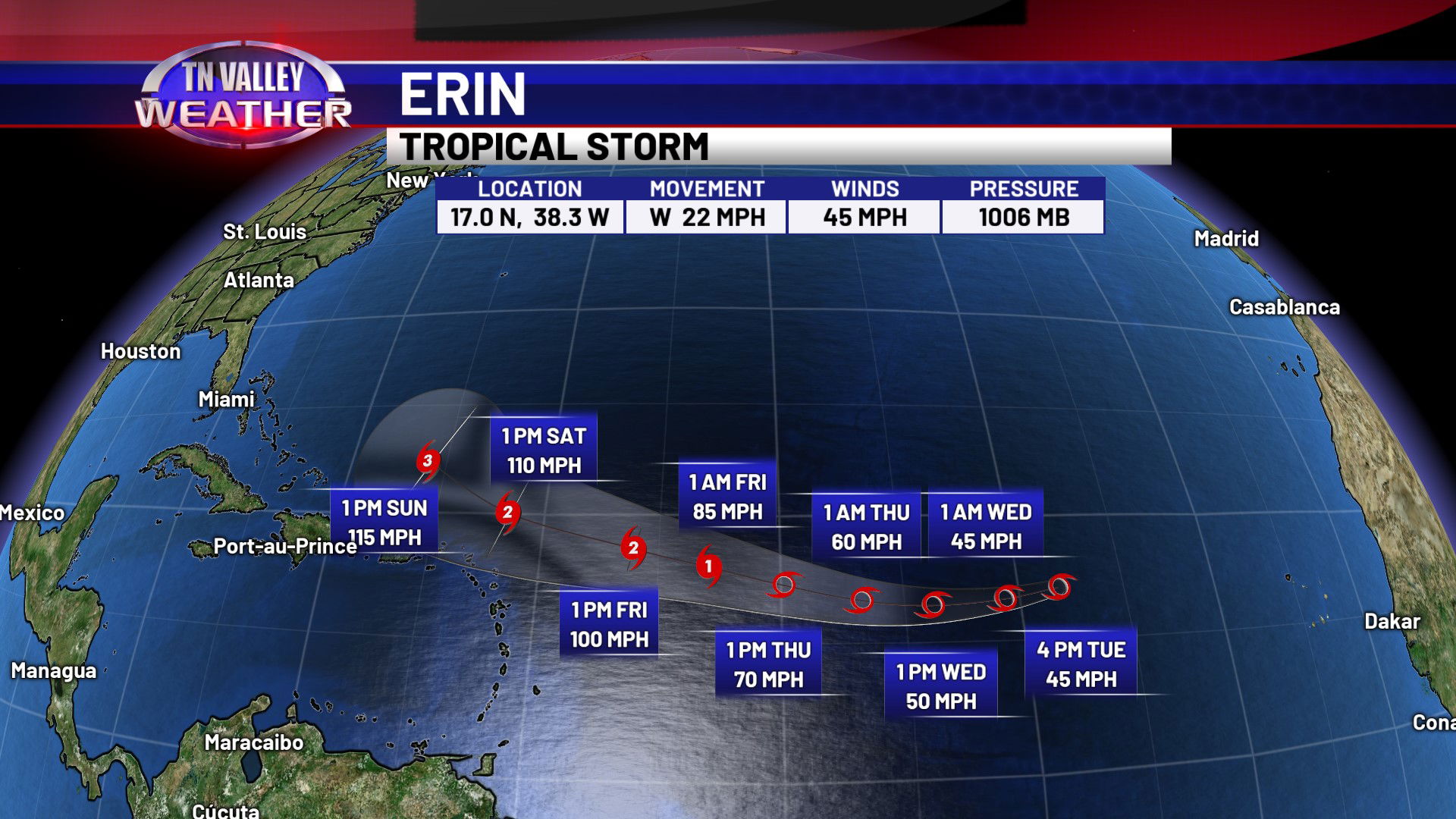
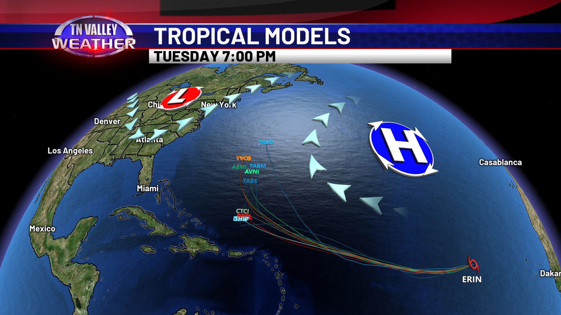
In the tropics, we continue to watch Tropical Storm Erin out in the eastern tropical Atlantic. The system has been struggling with dust and dry air, and may continue to do so the next few days. As of the afternoon advisory, maximum sustained winds are holding at 45 mph with a west movement at 23 mph. Erin will likely become a hurricane by the end of the week as it moves westward into more favorable conditions over the central portion of the Atlantic, and likely a major hurricane by the weekend as it tracks north of the Greater Antilles. Model guidance and ensemble data continues to be in good agreement that the most likely long term track for Erin is a recurve out over open water in the Atlantic, possibly being a threat to Bermuda. However, we still can’t completely let our guard down along the East Coast just yet. As of now, we see absolutely no credible reason to believe this system will end up in the Gulf.