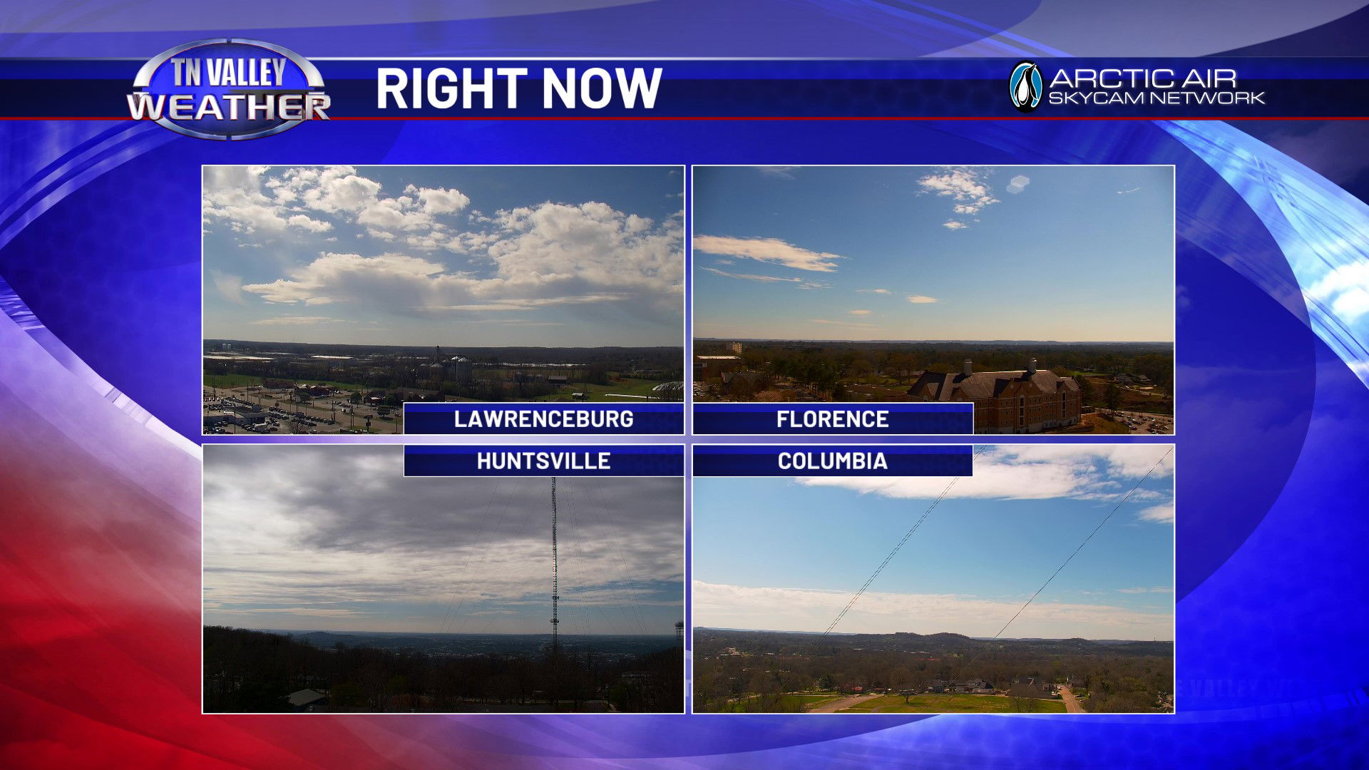
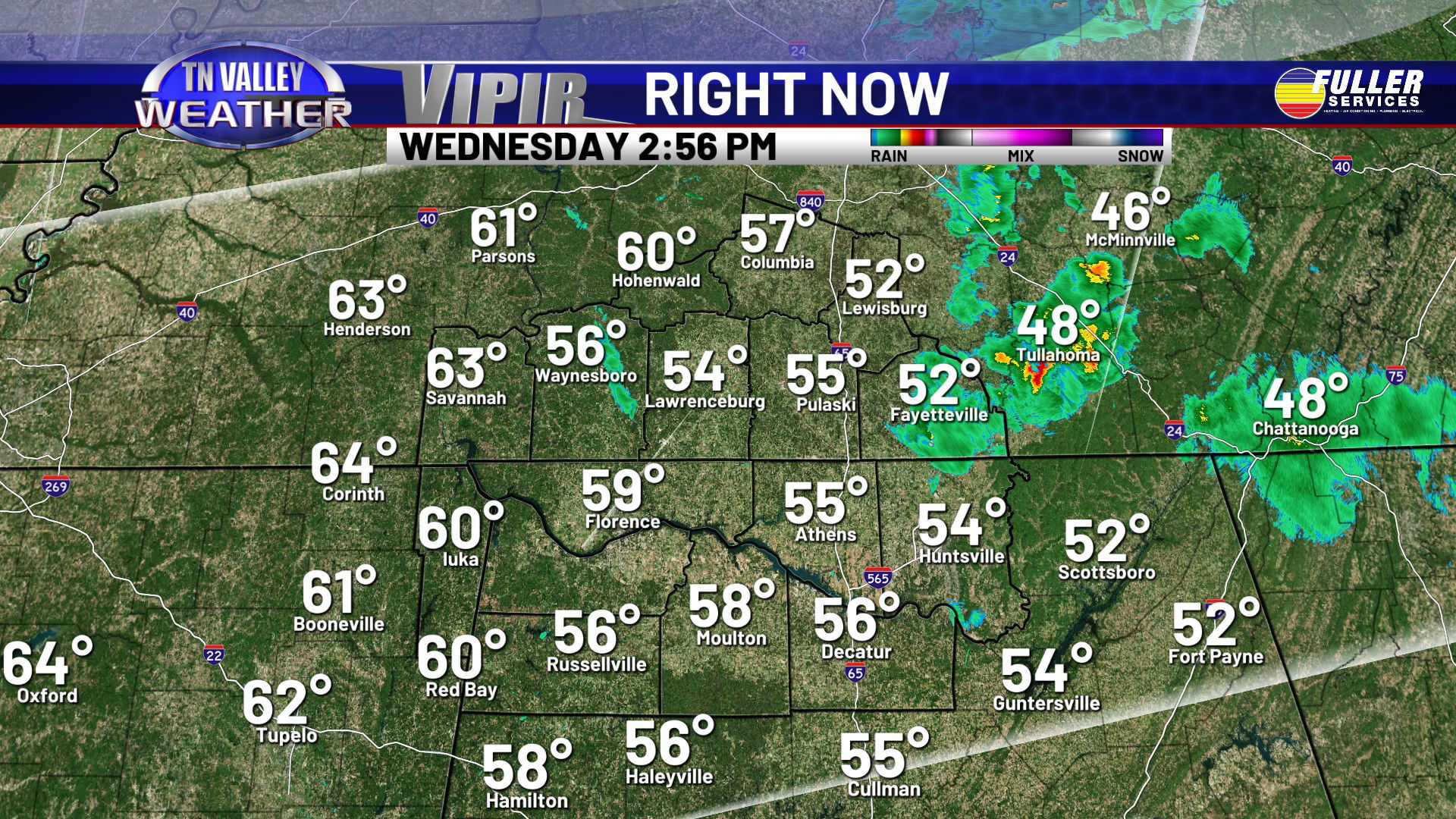
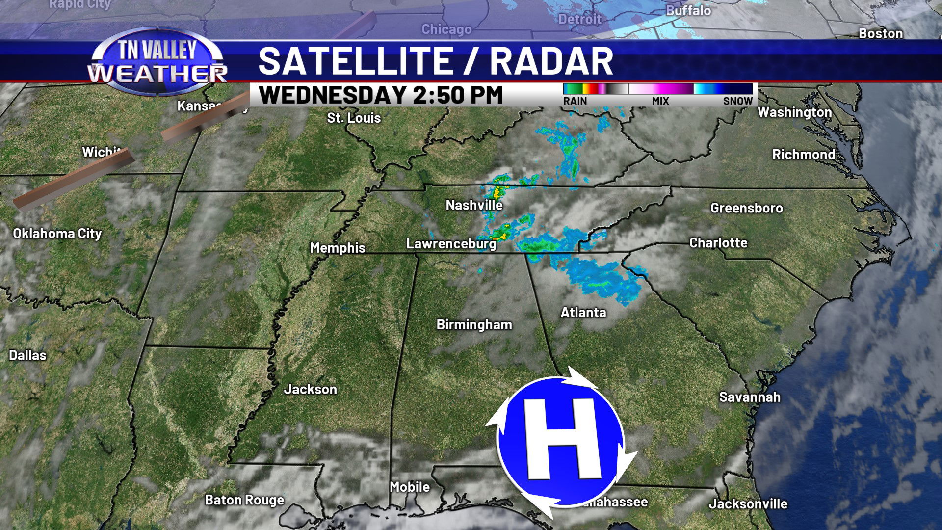
After starting out with clouds and showers this morning, we have returned to partly cloudy skies late this afternoon. We still have a couple of isolated showers over parts of the area, but they are now shifting off to the east. With the return to partial sunshine this Wednesday afternoon, temperatures have been able to climb to between the mid 50s and the lower 60s for most people across the viewing area.
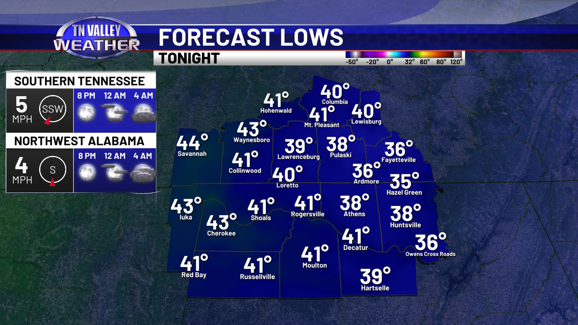
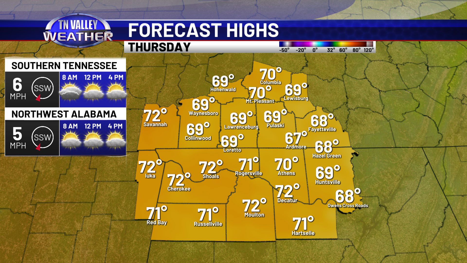
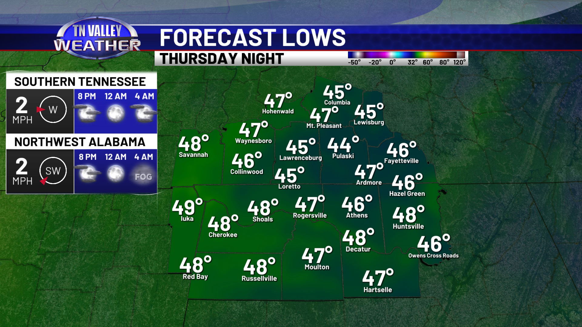
Skies will be mostly clear tonight, but with a southerly wind in place, temperatures won’t be quite as chilly. We will be down to the upper 30s and lower 40s. We begin our warm up in earnest on Thursday with partly cloudy skies. Daytime highs will climb into the upper 60s and lower 70s. Even milder tomorrow night, but a little fog possible after midnight. Overnight lows across the area will be in the mid to upper 40s.
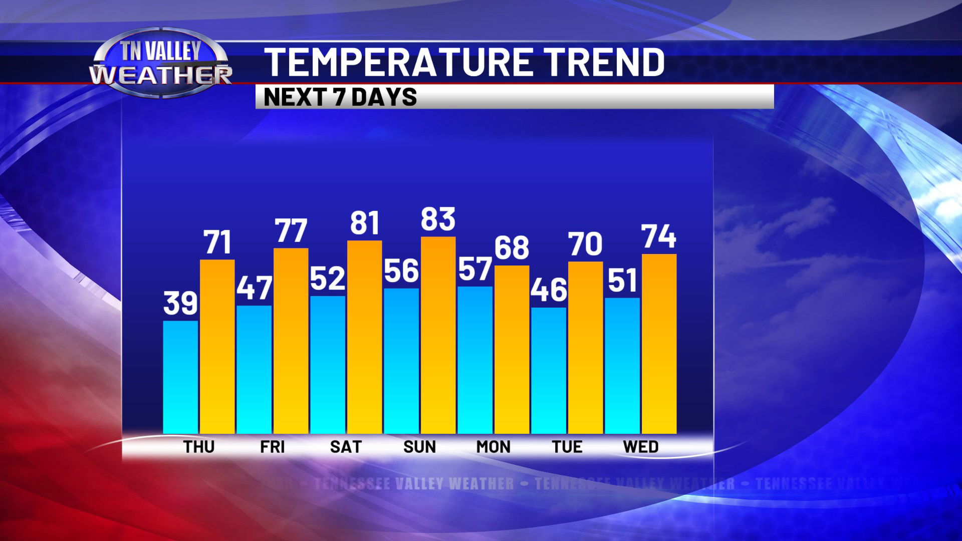
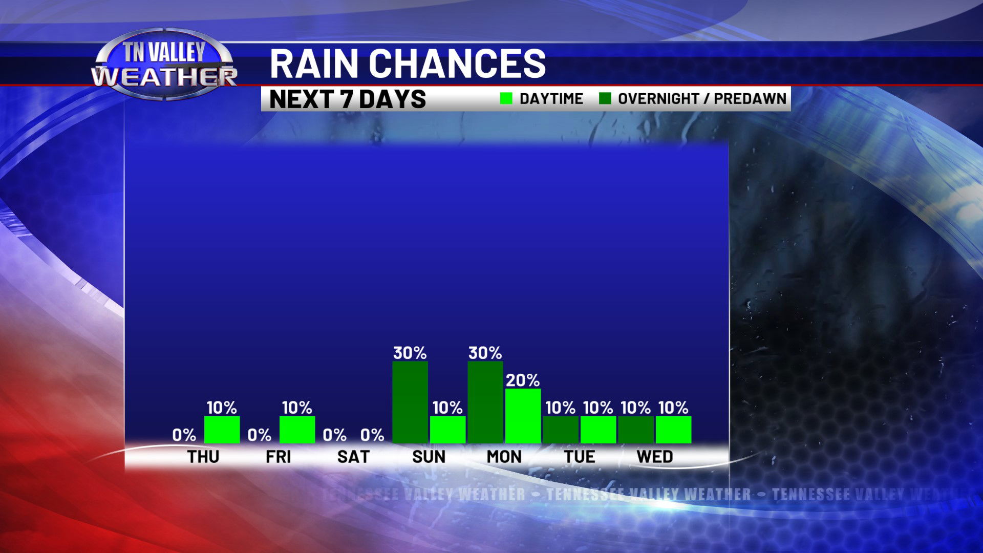
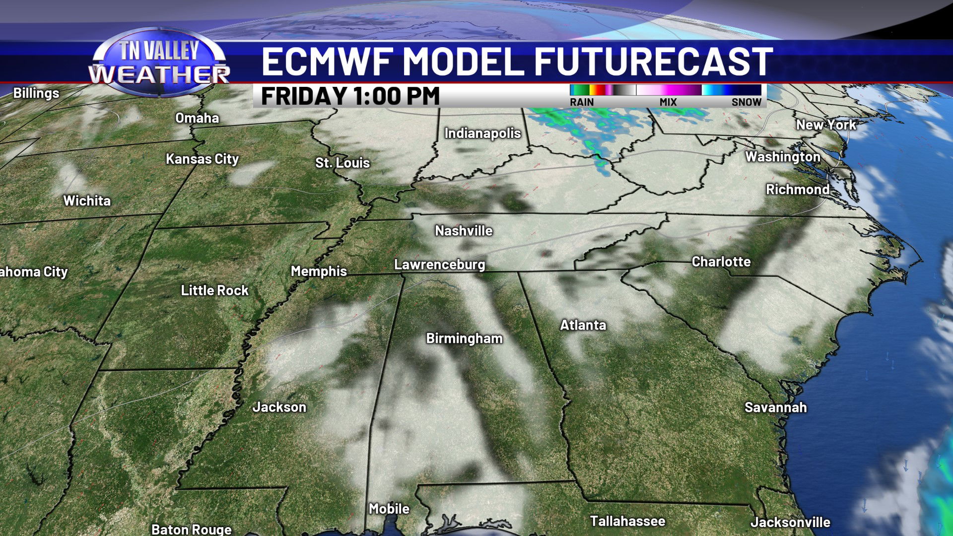
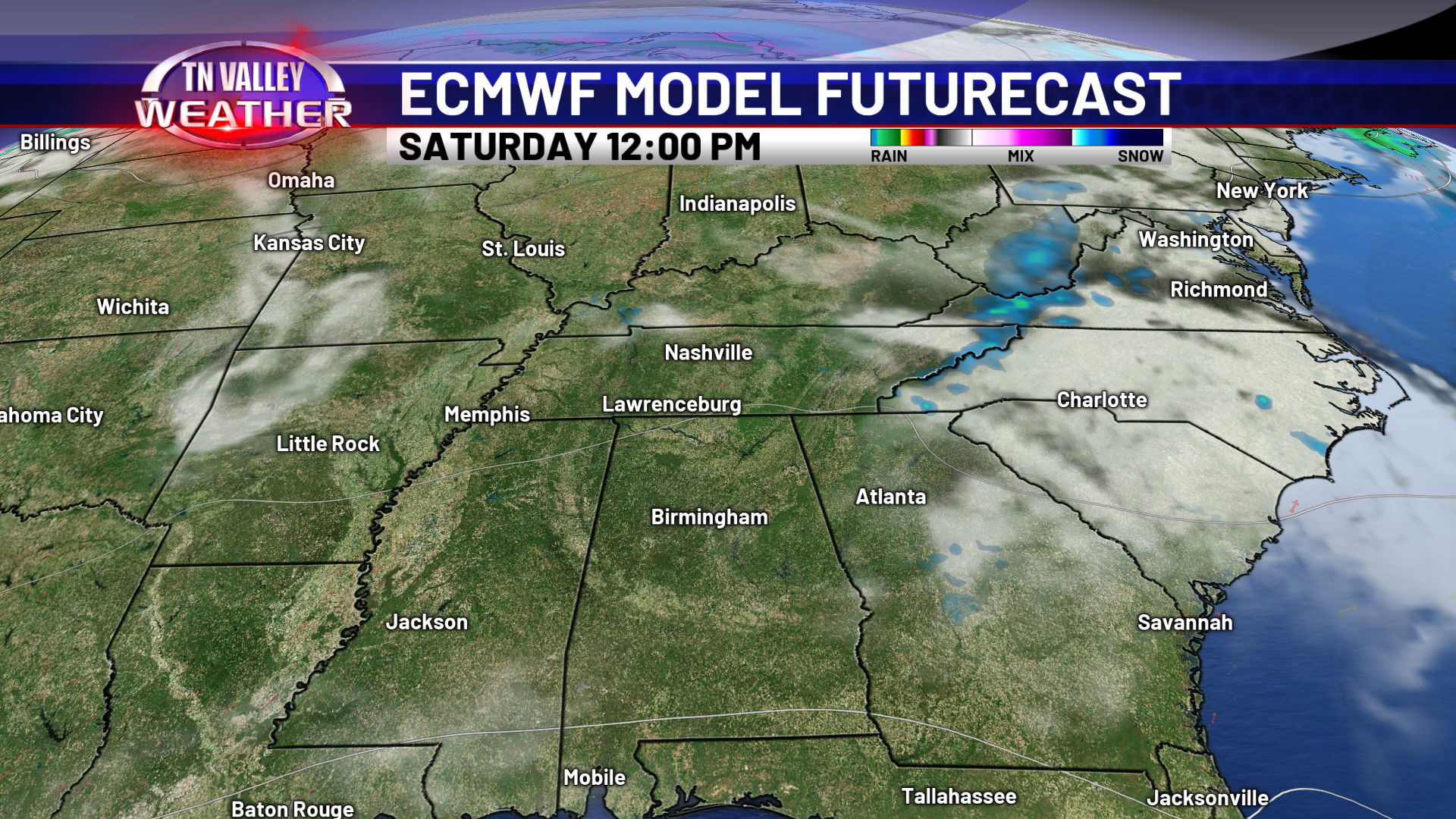
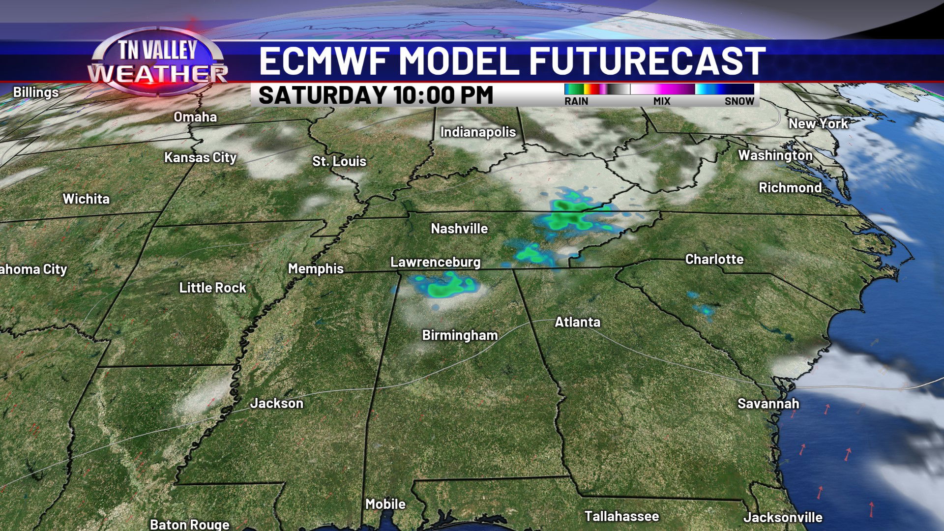

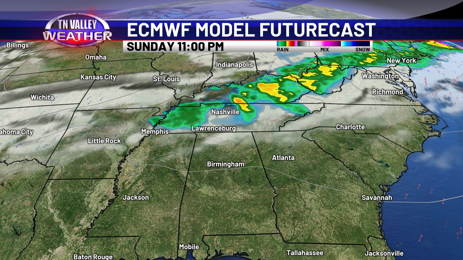
We look to be even warmer as we head into Friday and the weekend as temperatures begin to climb through the 70s into the lower 80s. The next 7 days look mostly quiet. No signs of big weather systems or severe storms! We may have a few spotty showers at times though, with that being most possible Saturday night, Sunday night, and into Monday morning.