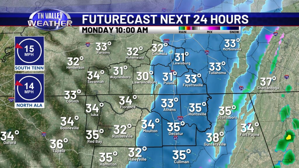
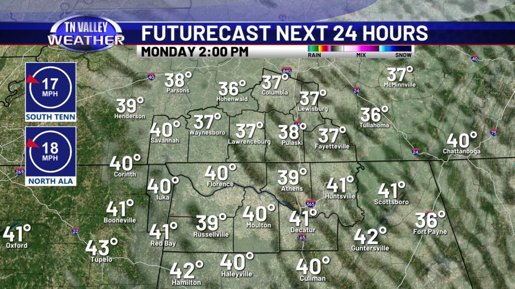
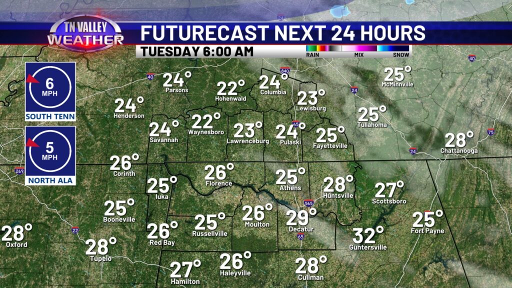
Well after last night’s strong cold front bringing powerful thunderstorms, the cold air on the back side is packing its own punch. Air temperatures today will be in the upper 30s to lower 40s at warmest. With some leftover moisture, we may see a few spotty non-impactful snow flurries or light snow showers this morning and early afternoon. No accumulation other than a light dusting on elevated surfaces is expected. Winds are also still gusty, but not as strong as yesterday. Gusts 20-25mph will continue through the afternoon before calming down this evening. Tonight as clouds clear out, temperatures will get very cold in to the lower 20s!
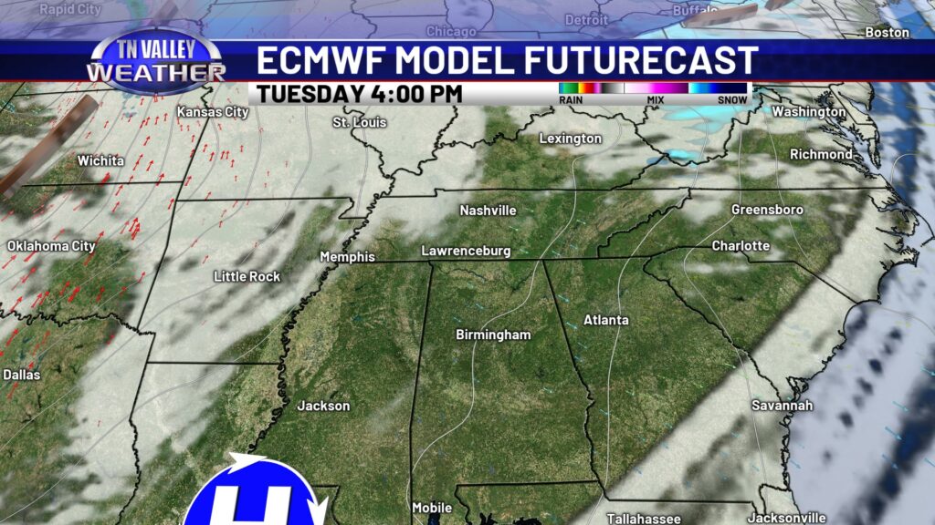
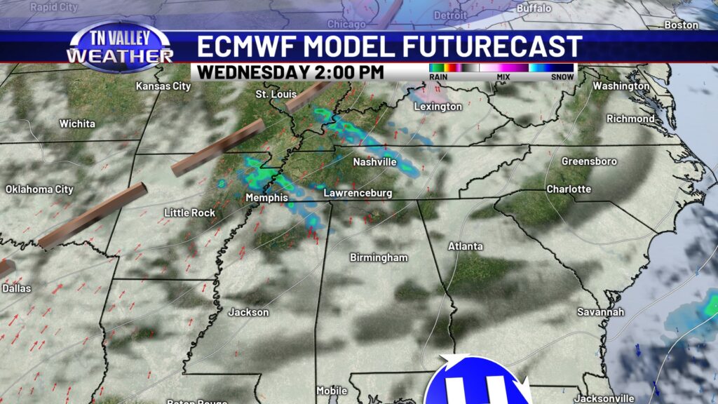
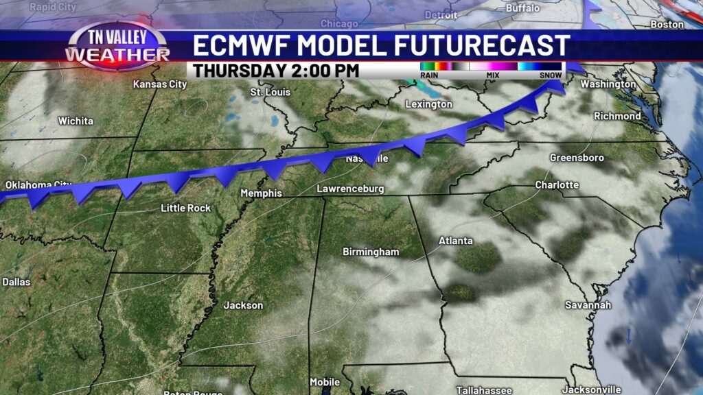
Good news! The rest of the week features calm weather for the Tennessee Valley. Tuesday looks mostly sunny, although still cold with highs only in the mid 40s. Wednesday we will notice an increase in cloud cover and a small chance for a spotty shower, otherwise we will stay mostly dry as we continue on with our warming trend. Thursday and Friday both look dry and partly cloudy, as we start to feel much more like spring here towards the end of the week.
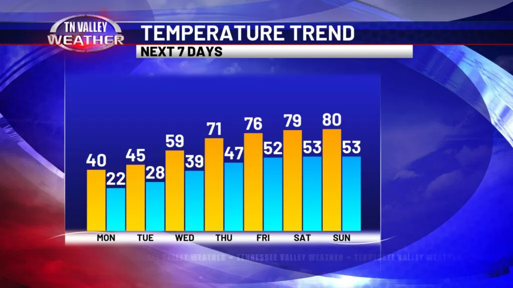
Thankfully this beginning of the week cold spell will be short-lived, and we will be back to near 60 by Wednesday. The end of the week will be feeling much more like spring, with highs in the upper 70s and lower 80s by the weekend! These temperature swings are surely a sign that spring is HERE!