
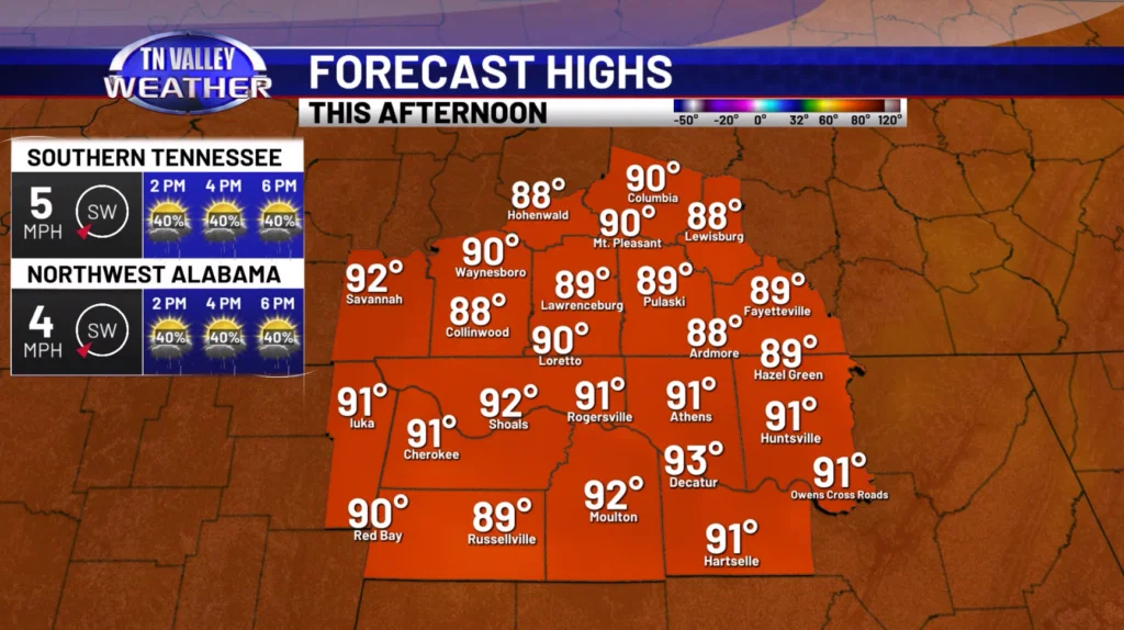
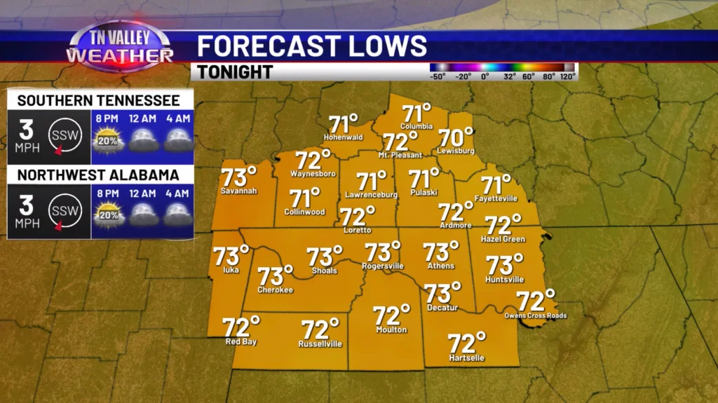
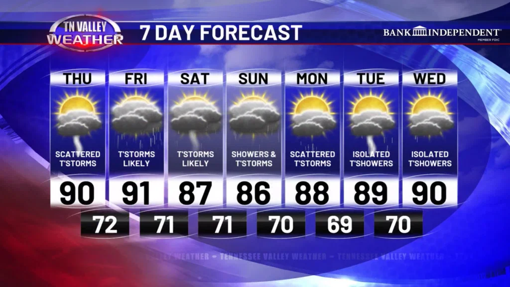
Happy Thursday! Another day filled with scattered showers and storms can be expected today. Some locally heavy rainfall could lead to some isolated flooding problems. Skies will be partly cloudy with highs in the lower 90s for most places. This evening, showers and storms fade away leading to partly cloudy skies overnight and lows in the lower 70s. Some patchy fog will be possible.
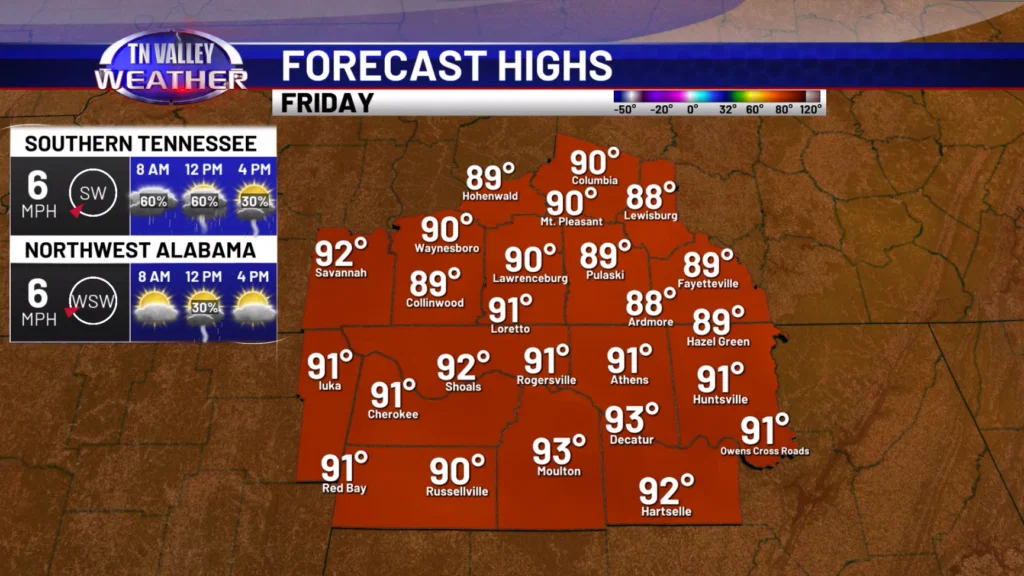
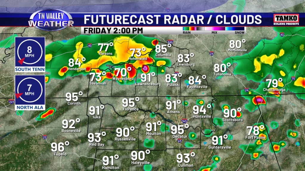
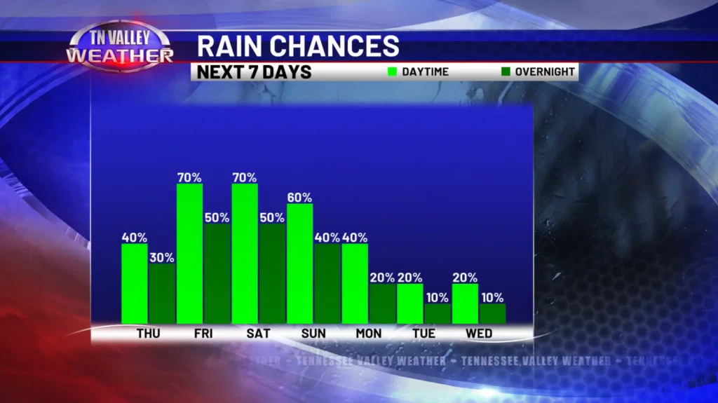
Going into tomorrow, we expect a better shot at rain and storms during the afternoon hours. Skies will be partly to mostly cloudy with highs in the upper 80s and lower 90s. Some of the storms tomorrow could be on the strong side with gusty to damaging winds being the main concern. However, no major severe risk is expected.
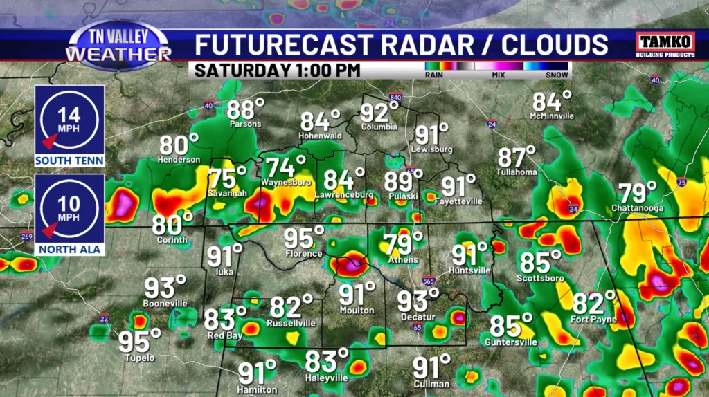
Over the weekend, more rain and storms are expected which could lead to more flooding problems. Widespread showers and storms can be anticipated on Saturday with more scattered activity on Sunday. Highs will remain in the upper 80s. Some strong storms will also be possible with the main risk being strong winds.
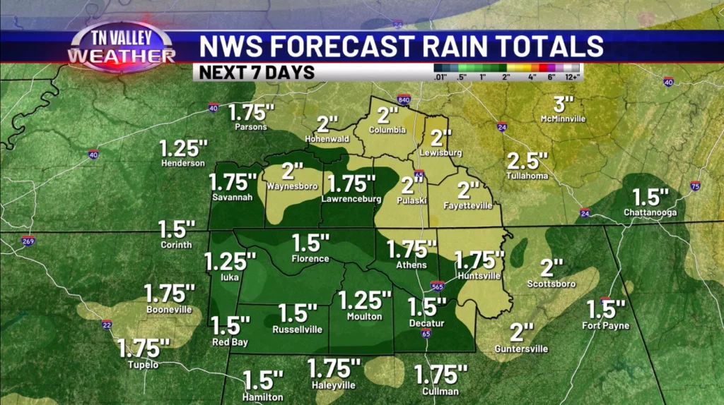
Rain and storms will continue to be a risk Monday, before things become a bit more isolated Tuesday and Wednesday. Between now and then, the NWS forecast shows anywhere from 1-2 inches of rain should fall with locally higher amounts.
Have a great Thursday!