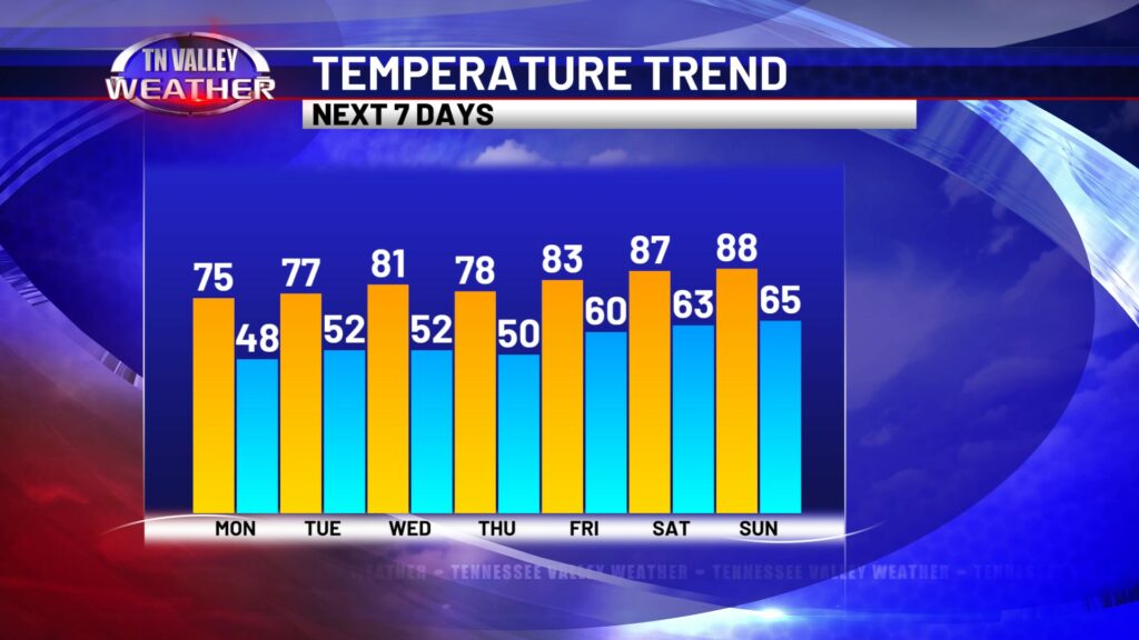
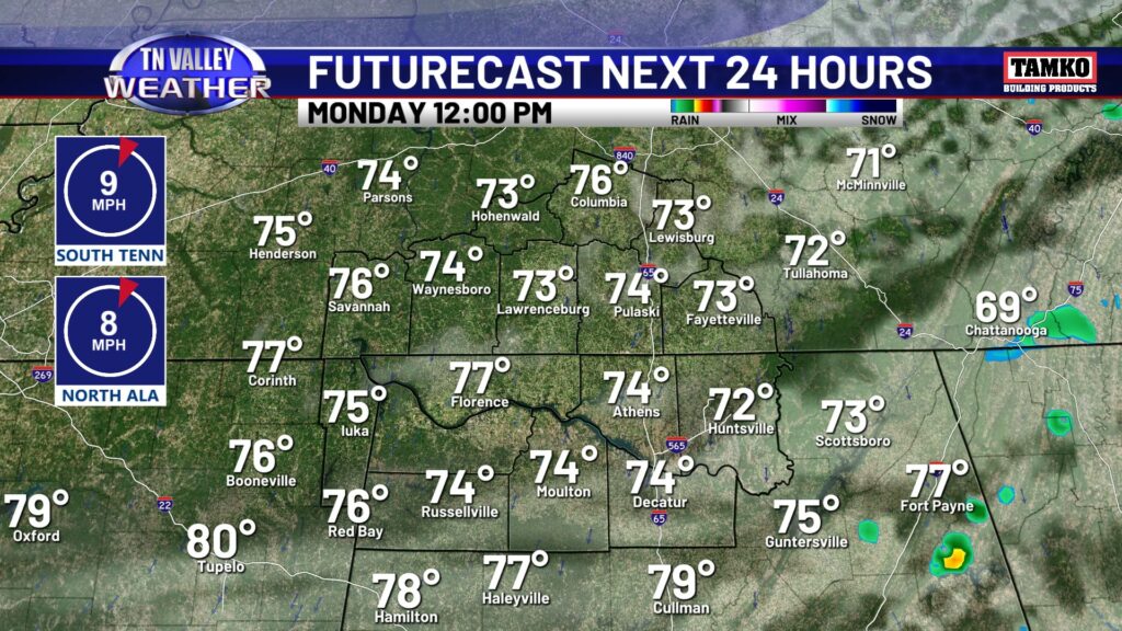
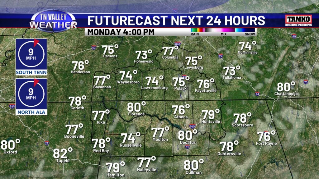
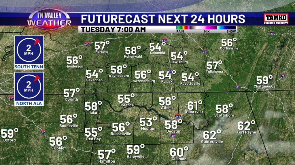
Clouds and a few rain showers are around this morning, but it may be the only raindrops we see for much of the next several days. We’re looking at a dry weather pattern this week, aside from a minimal mid week rain chance. As far as the rest of today goes expect cloud cover to liner through at least lunch time, although shower chances are just about over as I’m typing this at 8AM. With a clearing sky, temperatures will warm up in to the mid to upper 70s this afternoon with more sunshine as the day goes on. Tonight, the sky will be mostly clear with lows in the 50s and upper 40s.
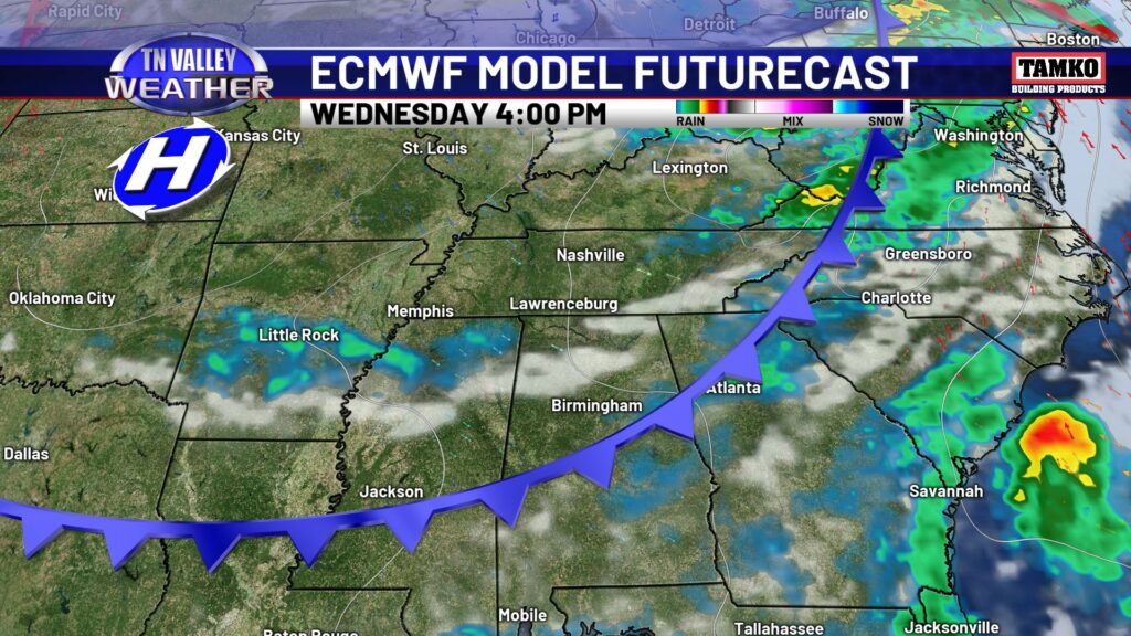
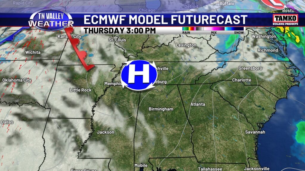
Like I said, we have a relatively dry week ahead. Tuesday looks mostly sunny. Wednesday a weak front will come through, and it’s weak in both the moisture and temperature change departments. There will be an increase in cloud cover and maybe a few spotty showers Wednesday afternoon, otherwise the day will stay mostly dry. Temperatures only cool off a few degrees into Thursday, with high pressure settling in, setting the stage for a warmer weekend ahead.
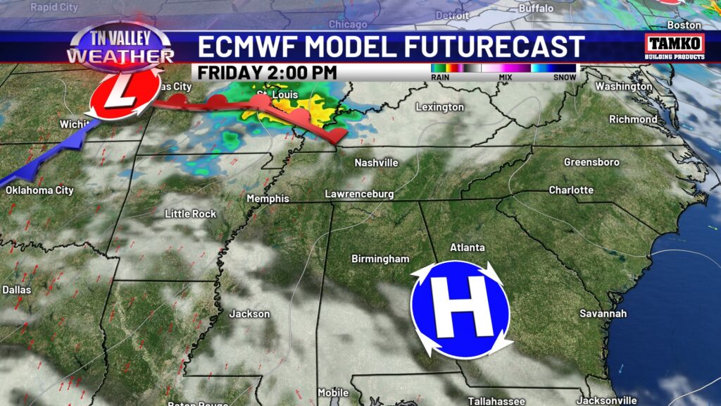
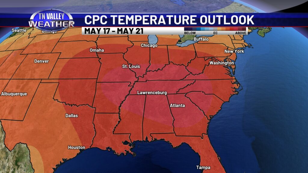
The Climate Prediction Center has the Tennessee Valley in the 70-80% range of odds of above-average temperatures heading into this weekend. We have a good shot at seeing upper 80s if not lower 90s across the area.